


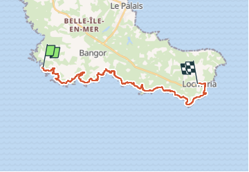

9.4 km | 11.2 km-effort


User


FREE GPS app for hiking
 SityTrail
IGN / Geographical institutes
SityTrail World
The world is yours!
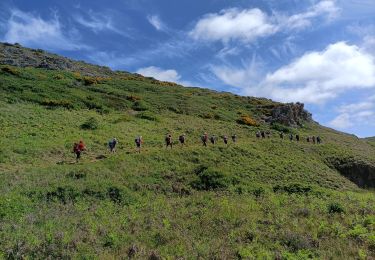
Trail Walking of 25 km to be discovered at Brittany, Morbihan, Bangor. This trail is proposed by meunier.ph..
Départ du Palais par le bus jusqu'à Port Coton et retour en bus de Locmaria au Palais.
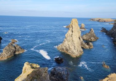
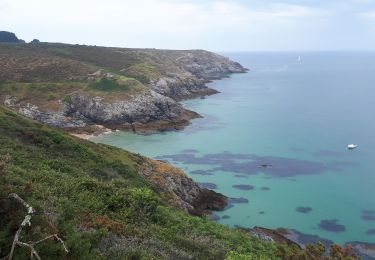
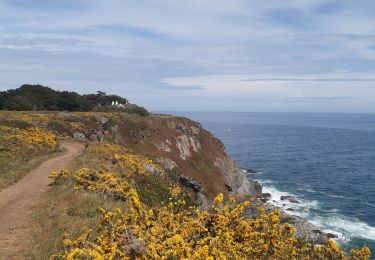
Côte sauvage très découpée à Port Coton avec ses aiguilles renommées.


Walking
Walking

Walking
Walking
Walking
Walking
On foot
Walking
Nordic walking