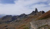
Trail Walking Beaufort - Brèche de Parozan - Photo
© OpenStreetMap contributors
Length
Length
9.6 km
Max alt
Max alt
2736 m
Uphill gradient
Uphill gradient
1026 m
Km-Effort
Km-Effort  
23 km
Min alt
Min alt
1706 m
Downhill gradient
Downhill gradient
1025 m
Boucle
Boucle
Yes
Creation date :
2022-09-13 08:39:10.169
Updated on :
2022-09-15 13:39:07.424

(0 Reviews)

Walking
Walking
4h29
Difficulty : Very difficult

Scan this QR Code to open this trail in the SityTrail application

FREE GPS app for hiking

Logo SityTrail SityTrail
IGN / Geographical institutes

Download SityTrail from the App Store Download SityTrail from Google Play

Logo SityTrail SityTrail World

The world is yours!

Download SityTrail from the App Store Download SityTrail from Google Play Download SityTrail on Huawei AppGallery

About

Trail Walking of 9.6 km to be discovered at Auvergne-Rhône-Alpes, Savoy, Beaufort. This trail is proposed by GuyVachet.

Description

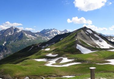
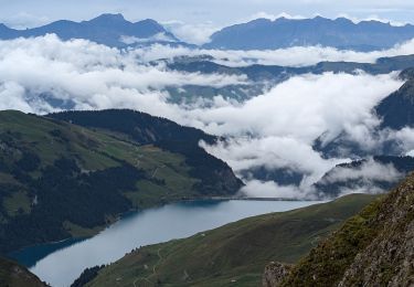
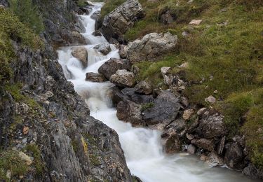
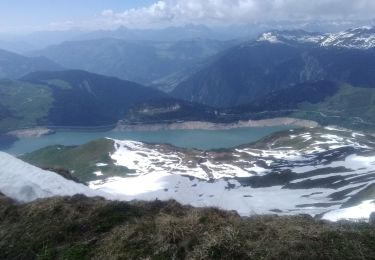
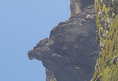
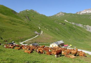
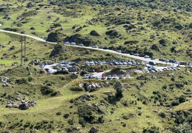
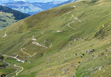
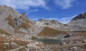
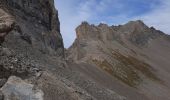
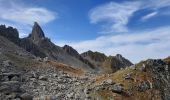
Belle boucle engagée en commençant par le Col du Bresson qui offre une belle vue sur la mythique Pierra Menta et un beau panorama sur la Vanoise du Mont Pourri jusqu'aux Glaciers de la Vanoise. Passage par le Refuge du Presset avec son beau lac avant de terminer la montée par le Col du Grand Fond. De là, quitter le sentier balisé pour rejoindre la Brèche de Parozan avec un descente spectaculaire dans le minéral qu'il faut aborder bien concentré mais le chemin est bien tracé (la descente part de l'extrémité Nord de la brèche). Après un replat en alpage, la descente dans la partie herbeuse en longeant le ruisseau n'est pas des plus faciles avant de retrouver sensiblement la piste empierrée de l'aller.

Elevation profile

Photos

Positioning

Country:
France
Region :
Auvergne-Rhône-Alpes
Department/Province :
Savoy
Municipality :
Beaufort
Location:
Unknown
Start:(UTM)
315785 ; 5058961 (32T) N.

Trails nearby

Trail Walking Beaufort - Du refuge du Plan de la laie au refuge de la Croix du Bonhomme - Photo
Walking
GUIDE
Desrumaux

Walking

Medium
(1)
Beaufort, Auvergne-Rhône-Alpes, Savoy, France
8 km | 16 km-effort
4h 27min
No
Trail Walking Aime-la-Plagne - 2024-09-08 Marche Tour Beaufortain Refuge Coire vers Refuge Presset - Photo
Walking
GUIDE
holtzv

Walking

Very difficult
Aime-la-Plagne, Auvergne-Rhône-Alpes, Savoy, France
13.6 km | 26 km-effort
5h 48min
No
Trail Walking La Plagne-Tarentaise - suuntoapp-Hiking-2024-09-09T06-09-09Z - Photo
Walking
GUIDE
holtzv

Walking

Very difficult
La Plagne-Tarentaise, Auvergne-Rhône-Alpes, Savoy, France
13.6 km | 25 km-effort
5h 44min
No
Trail Touring skiing Beaufort - Passage d'Arpire, col Bresson, brèche de Parozan - Photo
Touring skiing
GUIDE
nadd73

Touring skiing

Difficult
Beaufort, Auvergne-Rhône-Alpes, Savoy, France
17.6 km | 39 km-effort
9h 4min
Yes
Trail Walking Beaufort - lac de Presset et passeur de la Mintaz (belvédère de la Pierra Menta) - Photo
Walking
GUIDE
amiral13

Walking

Difficult
Beaufort, Auvergne-Rhône-Alpes, Savoy, France
11.6 km | 24 km-effort
2h 57min
Yes
Trail Walking La Plagne-Tarentaise - Du refuge de Presset au refuge de la Coire - Photo
Walking
GUIDE
Desrumaux

Walking

Medium
La Plagne-Tarentaise, Auvergne-Rhône-Alpes, Savoy, France
9 km | 15.6 km-effort
5h 0min
No
Trail Walking Beaufort - Ref de la Laie vers refuge du Presset - Photo
Walking
stjullie

Walking

Medium
(1)
Beaufort, Auvergne-Rhône-Alpes, Savoy, France
10.6 km | 19.8 km-effort
5h 17min
No
Trail Walking Beaufort - Rocher du Vent 7,8 km -570 m + - Photo
Walking
GUIDE
rvapeldo

Walking

Difficult
Beaufort, Auvergne-Rhône-Alpes, Savoy, France
7.8 km | 15.3 km-effort
5h 40min
Yes
Trail Walking Beaufort - Lac d’Amour - col du Coin 10 km -680 m dénivelé + - Photo
Walking
GUIDE
rvapeldo

Walking

Medium
Beaufort, Auvergne-Rhône-Alpes, Savoy, France
10.4 km | 19.6 km-effort
7h 5min
Yes


Close
My subscriptions