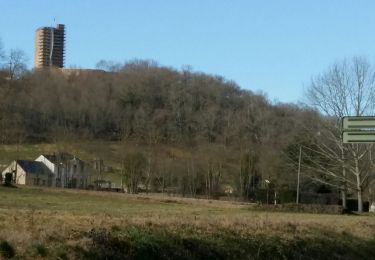
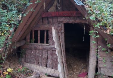
7 km | 8.7 km-effort
Saint Lezer - La Rouquere version1
marcel.F
User
Length
7.4 km
Max alt
340 m
Uphill gradient
132 m
Km-Effort
9.1 km
Min alt
262 m
Downhill gradient
129 m
Boucle
Yes
Creation date :
2022-09-13 06:10:26.779
Updated on :
2022-09-13 12:44:51.593
1h40
Difficulty : Medium
FREE GPS app for hiking
About
Trail Walking of 7.4 km to be discovered at Occitania, Hautespyrenees, Saint-Lézer. This trail is proposed by marcel.F.
Description
dépat la Tuilerie
Positioning
Country:
France
Region :
Occitania
Department/Province :
Hautespyrenees
Municipality :
Saint-Lézer
Location:
Unknown
Start:(Dec)
Start:(UTM)
259155 ; 4806290 (31T) N.
Comments
Trails nearby
MONTANER La Milouloise M2 82 ans le 5/02/2020
On foot
Easy
Montaner,
New Aquitaine,
Pyrénées-Atlantiques,
France
Unknown
Yes
MONTANER 85 Ans de JC
Walking
Medium
Montaner,
New Aquitaine,
Pyrénées-Atlantiques,
France
6.7 km | 8.9 km-effort
1h 50min
Yes
Les coteaux de Saint-Lézer
Mountain bike
Easy
Saint-Lézer,
Occitania,
Hautespyrenees,
France
11.9 km | 14.5 km-effort
1h 0min
Yes
Les coteaux de Saint-Lézer
Walking
Medium
Saint-Lézer,
Occitania,
Hautespyrenees,
France
11.9 km | 14.5 km-effort
3h 0min
Yes
Variante GR 101
On foot
Easy
Talazac,
Occitania,
Hautespyrenees,
France
8.9 km | 11 km-effort
2h 30min
No
SityTrail - Les coteaux de Saint-Lézer
On foot
Easy
Saint-Lézer,
Occitania,
Hautespyrenees,
France
10.1 km | 12.4 km-effort
2h 49min
Yes
RS Montaner 2021
Walking
Easy
Montaner,
New Aquitaine,
Pyrénées-Atlantiques,
France
4.4 km | 5.8 km-effort
1h 23min
Yes
Les coteaux de Montaner
Walking
Medium
Montaner,
New Aquitaine,
Pyrénées-Atlantiques,
France
10.7 km | 14.1 km-effort
2h 45min
Yes
Vic en Bigorre - Ladevèse et Sannous
Walking
Easy
Vic-en-Bigorre,
Occitania,
Hautespyrenees,
France
8.3 km | 10 km-effort
1h 54min
Yes