


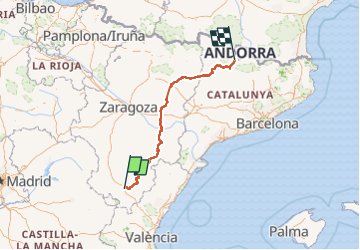
teruel esp andorre 4x4

dagobert5612
User

Length
578 km

Max alt
2021 m

Uphill gradient
12144 m
Km-Effort
741 km

Min alt
113 m

Downhill gradient
12590 m
Boucle
No
Creation date :
2022-08-21 14:44:08.665
Updated on :
2022-09-12 11:35:37.385
20h27
Difficulty : Medium

FREE GPS app for hiking
 SityTrail
IGN / Geographical institutes
SityTrail World
The world is yours!
About
Trail 4x4 of 578 km to be discovered at Aragon, Teruel, La Puebla de Valverde. This trail is proposed by dagobert5612.
Description
raid 4x4
Positioning
Country:
Spain
Region :
Aragon
Department/Province :
Teruel
Municipality :
La Puebla de Valverde
Location:
Unknown
Start:(Dec)
Start:(UTM)
673079 ; 4462098 (30T) N.
Comments
Trails nearby