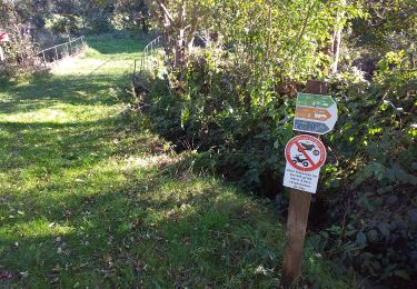
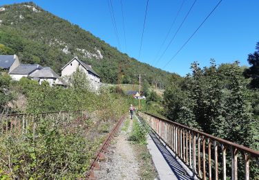
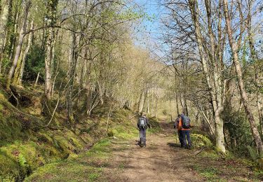
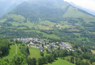
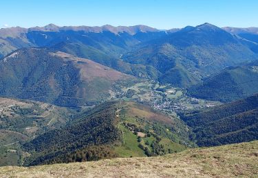
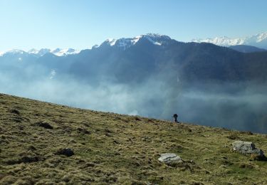
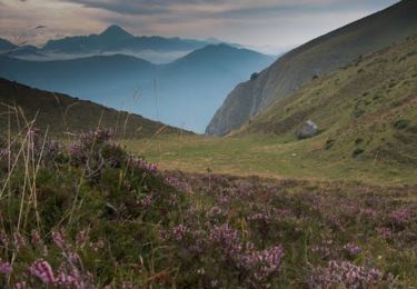
Trail Walking Sarrancolin - ilher montau - Photo
© OpenStreetMap contributors
Length
Length
10.3 km
Max alt
Max alt
1706 m
Uphill gradient
Uphill gradient
843 m
Km-Effort
Km-Effort  
22 km
Min alt
Min alt
851 m
Downhill gradient
Downhill gradient
841 m
Boucle
Boucle
Yes
Creation date :
2022-04-16 07:08:37.638
Updated on :
2022-09-12 09:41:59.515

(0 Reviews)

Walking
Walking
6h24
Difficulty : Medium

Scan this QR Code to open this trail in the SityTrail application

FREE GPS app for hiking

Logo SityTrail SityTrail

IGN / Geographical institutes

Download SityTrail from the App Store Download SityTrail from Google Play

Logo SityTrail SityTrail World

The world is yours!

Download SityTrail from the App Store Download SityTrail from Google Play Download SityTrail on Huawei AppGallery

About

Trail Walking of 10.3 km to be discovered at Occitania, Hautespyrenees, Sarrancolin. This trail is proposed by Bernard24.

Description

facile mais long

Elevation profile

Positioning

Country:
France
Region :
Occitania
Department/Province :
Hautespyrenees
Municipality :
Sarrancolin
Location:
Unknown
Start:(UTM)
287085 ; 4762573 (31T) N.

Trails nearby

Trail Walking Hèches - REBOUC sortie commune LPC trace revue et corrigée
Walking
GUIDE
marmotte65

Walking

Medium
Hèches, Occitania, Hautespyrenees, France
6.1 km | 8.5 km-effort
1h 55min
Yes
Trail Walking Sarrancolin - plo de Berdaoulou - Photo
Walking
chrisgps

Walking

Medium
Sarrancolin, Occitania, Hautespyrenees, France
12.9 km | 26 km-effort
7h 12min
Yes
Trail Walking Hèches - Rebouc G4   - Photo
Walking
LouisROGER

Walking

Very easy
Hèches, Occitania, Hautespyrenees, France
4.4 km | 5.9 km-effort
1h 10min
Yes
Trail Mountain bike Sarrancolin - Le col d'Azet en VTT - Photo
Mountain bike
tracegps

Mountain bike

Very difficult
Sarrancolin, Occitania, Hautespyrenees, France
28 km | 43 km-effort
2h 30min
No
Trail Walking Aspin-Aure - plot del naou  col d'Aspin - Photo
Walking
bliguet

Walking

Medium
Aspin-Aure, Occitania, Hautespyrenees, France
6.5 km | 10.8 km-effort
5h 40min
Yes
Trail Walking Ilhet - Pic Montaut - Photo
Walking
Chermantier

Walking

Easy
Ilhet, Occitania, Hautespyrenees, France
14.5 km | 30 km-effort
7h 57min
Yes
Trail Running Beyrède-Jumet-Camous - De Camous au Mont Arrouy - Photo
Running
tracegps

Running

Difficult
Beyrède-Jumet-Camous, Occitania, Hautespyrenees, France
14.1 km | 30 km-effort
3h 0min
Yes
Trail Walking Aspin-Aure - Col d’Aspin - Photo
Walking
jps13

Walking

Aspin-Aure, Occitania, Hautespyrenees, France
7 km | 11.2 km-effort
1h 56min
Yes
Trail Walking Beyrède-Jumet-Camous - Départ du cimetière de Camous cabane de Camous en boucle avec Azura  - Photo
Walking
Jeanne Pene

Walking

Medium
Beyrède-Jumet-Camous, Occitania, Hautespyrenees, France
18.6 km | 34 km-effort
10h 46min
Yes


Close
My subscriptions