


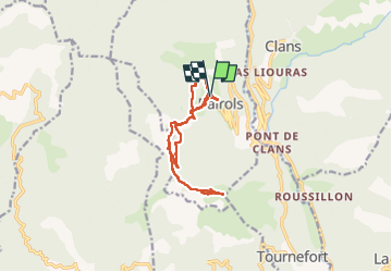

12.7 km | 25 km-effort


User


FREE GPS app for hiking
 SityTrail
IGN / Geographical institutes
SityTrail World
The world is yours!
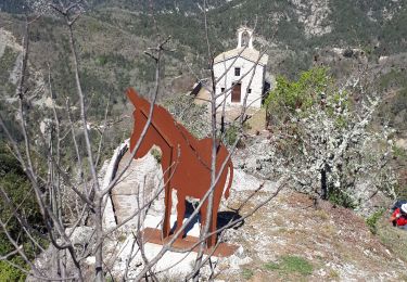
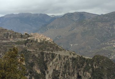
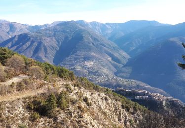
Trail Walking of 13.2 km to be discovered at Provence-Alpes-Côte d'Azur, Maritime Alps, Bairols. This trail is proposed by pln30.
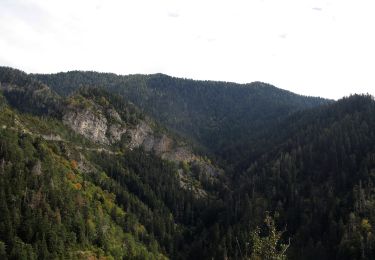
Une randonnée facile depuis bairols, jusqu'au mont farloude qui offre un très beau panorama sur les vallée de la tinée et la vallée du var, vous pouvez retrouver cette randonnée sur ma chaine youtube " air view channel "

On foot

On foot
On foot
On foot
Walking
Snowshoes
Walking
Walking
Walking