


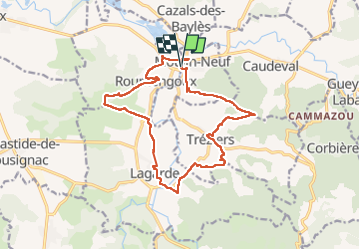

15.2 km | 20 km-effort


User GUIDE


FREE GPS app for hiking
 SityTrail
IGN / Geographical institutes
SityTrail World
The world is yours!
Trail Walking of 17.1 km to be discovered at Occitania, Ariège, Moulin-Neuf. This trail is proposed by Ada11.
Beaucoup de macadam.

Walking

Walking

Walking
Walking
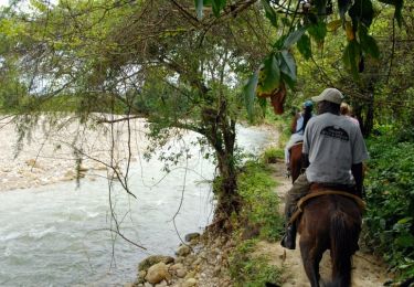
Equestrian

Walking

Walking