


23 km | 35 km-effort

User GUIDE


FREE GPS app for hiking
 SityTrail
IGN / Geographical institutes
SityTrail World
The world is yours!
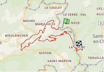
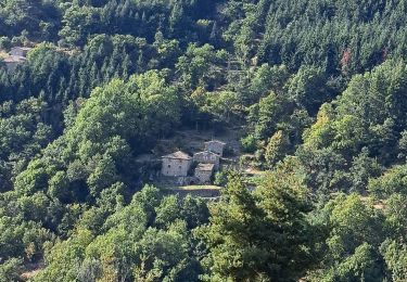
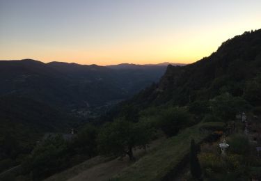
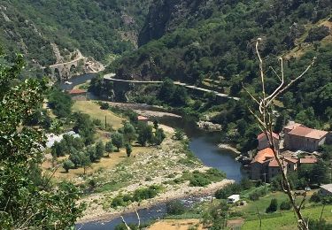
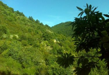
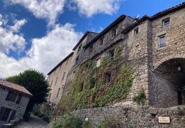
Trail Walking of 12.3 km to be discovered at Auvergne-Rhône-Alpes, Ardèche, Saint-Maurice-en-Chalencon. This trail is proposed by randodyssée.
gene
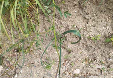
Sentier chapelle a éviter
rester sur GR


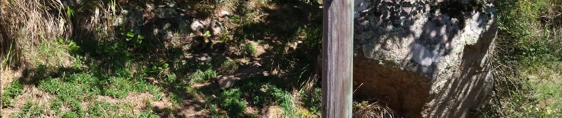
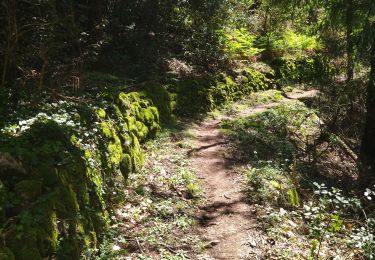
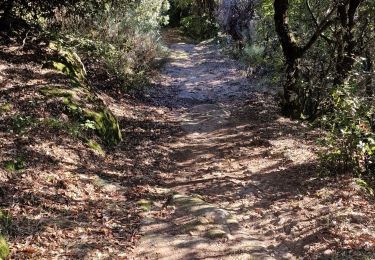
21 photos in total. Please click on a photo to see them all in the gallery.
Walking
Walking
Walking
Walking
Walking

Walking
Walking
Walking
Walking