


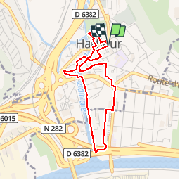


7.7 km | 9.1 km-effort

User


FREE GPS app for hiking
 SityTrail
IGN / Geographical institutes
SityTrail World
The world is yours!
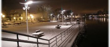
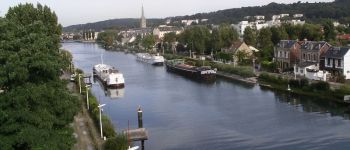
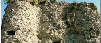
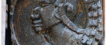
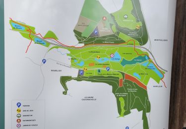
Trail Walking of 3.5 km to be discovered at Normandy, Seine-Maritime, Harfleur. This trail is proposed by GGHarfleur.
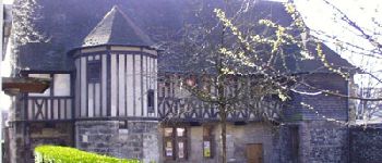
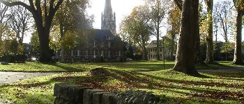
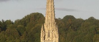
Le patrimoine d'Harfleur et la Lézarde. Traversez la petite et la grande histoire... du siège d'Henry V d'Angleterre en 1415 à l'explosion de la poudrière belge en 1915.


Walking

Walking
On foot
Walking

On foot
Walking
Walking
Walking

Walking