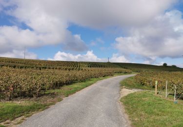
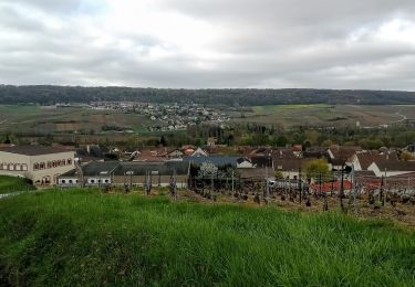
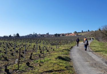
14.9 km | 19.6 km-effort
F.Reuil11km230m+VTC
francois58
User
Length
11 km
Max alt
163 m
Uphill gradient
226 m
Km-Effort
14 km
Min alt
61 m
Downhill gradient
225 m
Boucle
Yes
Creation date :
2014-12-10 00:00:00.0
Updated on :
2014-12-10 00:00:00.0
55m
Difficulty : Easy
FREE GPS app for hiking
About
Trail Mountain bike of 11 km to be discovered at Grand Est, Marne, Reuil. This trail is proposed by francois58.
Description
Bonus rando J3
Positioning
Country:
France
Region :
Grand Est
Department/Province :
Marne
Municipality :
Reuil
Location:
Unknown
Start:(Dec)
Start:(UTM)
558305 ; 5436894 (31U) N.
Comments
Trails nearby
Œuilly à Cumieres via Hautvillers
Walking
Œuilly,
Grand Est,
Marne,
France
19.6 km | 26 km-effort
5h 17min
No
Reuil du 16/04/2023
Walking
Very difficult
Reuil,
Grand Est,
Marne,
France
18.2 km | 25 km-effort
5h 39min
Yes
Châtillon-sur-Marne du 28-02-2021
Walking
Very easy
Châtillon-sur-Marne,
Grand Est,
Marne,
France
12.6 km | 16.5 km-effort
3h 29min
Yes
Châtillon sur Marne 27 km 14 mai
Walking
Very easy
Châtillon-sur-Marne,
Grand Est,
Marne,
France
27 km | 36 km-effort
7h 33min
Yes
Urbain II
Walking
Difficult
Châtillon-sur-Marne,
Grand Est,
Marne,
France
11.7 km | 15.1 km-effort
3h 14min
Yes
chatillon
Walking
Easy
Châtillon-sur-Marne,
Grand Est,
Marne,
France
4.1 km | 5.5 km-effort
1h 24min
Yes
chatillon
Walking
Medium
Châtillon-sur-Marne,
Grand Est,
Marne,
France
8 km | 11.1 km-effort
2h 10min
Yes