


24 km | 27 km-effort


User GUIDE


FREE GPS app for hiking
 SityTrail
IGN / Geographical institutes
SityTrail World
The world is yours!
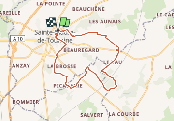
Trail Walking of 16.1 km to be discovered at Centre-Loire Valley, Indre-et-Loire, Sainte-Maure-de-Touraine. This trail is proposed by Orcal37.
Sainte-Maure-de-Touraine - Fontaine St-Martin - Circuit de 2006 Pas de LGV en 2006 Ajouter 1.4km pour la contourner - 15.8km 160m 3h00 - 2006 05 08

Walking
Walking
Walking
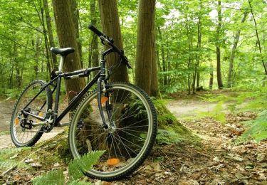
Mountain bike

Mountain bike

Walking
Walking
Electric bike
Mountain bike