![](/images/other/stat-length.png)
![Trail Walking Auzouer-en-Touraine - Auzouer-en-Touraine - Circuit Bec Sec variante - 18.4km 220m 4h10 (30mn) - 2022 09 06 - Photo](https://media.geolcdn.com/t/1900/400/38a4be1b-598c-4a27-bdce-82573aabedf8.jpg&format=pjpeg&maxdim=2)
Auzouer-en-Touraine - Circuit Bec Sec variante - 18.4km 220m 4h10 (30mn) - 2022 09 06
Orcal37
User GUIDE
![Length](/images/other/stat-length.png)
Length
18.4 km
![Max alt](https://static1.geolcdn.com/siteimages/upload/files/1508320355ic_sort_altitude_max_24dp.png)
Max alt
134 m
![Uphill gradient](https://static1.geolcdn.com/siteimages/upload/files/1508320355ic_sort_den_pos_24dp.png)
Uphill gradient
219 m
![Km-Effort](/images/other/stat-length.png)
Km-Effort
21 km
![Min alt](https://static1.geolcdn.com/siteimages/upload/files/1508320355ic_sort_altitude_min_24dp.png)
Min alt
82 m
![Downhill gradient](https://static1.geolcdn.com/siteimages/upload/files/1508320355ic_sort_den_neg_24dp.png)
Downhill gradient
220 m
![Boucle](https://static1.geolcdn.com/siteimages/upload/files/16400158638029165_repeat_loop_refresh_sync_direction_icon.png)
Boucle
Yes
Creation date :
2022-09-06 09:43:28.733
Updated on :
2022-09-06 17:49:02.165
![Walking](https://static1.geolcdn.com/sitytour/trail-icons/101.png)
4h10
Difficulty : Medium
![Scan this QR Code to open this trail in the SityTrail application](https://capi.geolives.com/qq0zvz2zws4bq2lad0pu/sitytour/trails/3381716/qr.png?size=200)
FREE GPS app for hiking
About
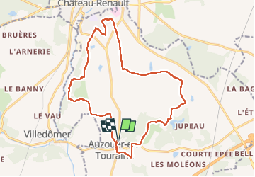
Trail Walking of 18.4 km to be discovered at Centre-Loire Valley, Indre-et-Loire, Auzouer-en-Touraine. This trail is proposed by Orcal37.
Description
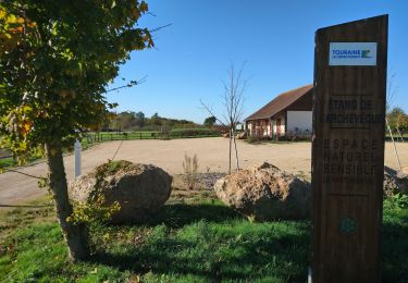
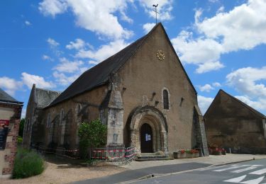
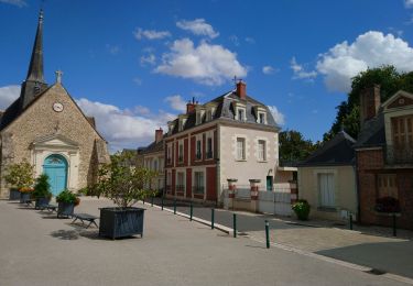
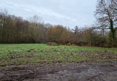
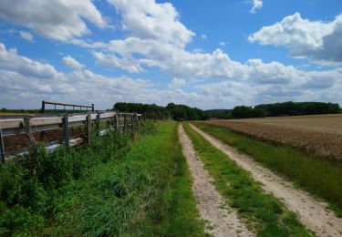
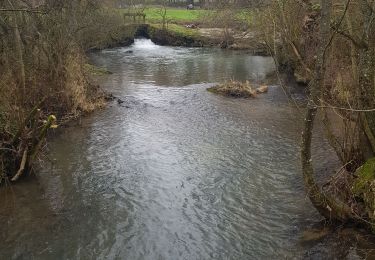
Auzouer-en-Touraine - Circuit Bec Sec variante car passage à travers champs au début de ma trace gps cf photos - 18.4km 220m 4h10 (30mn) - 2022 09 06
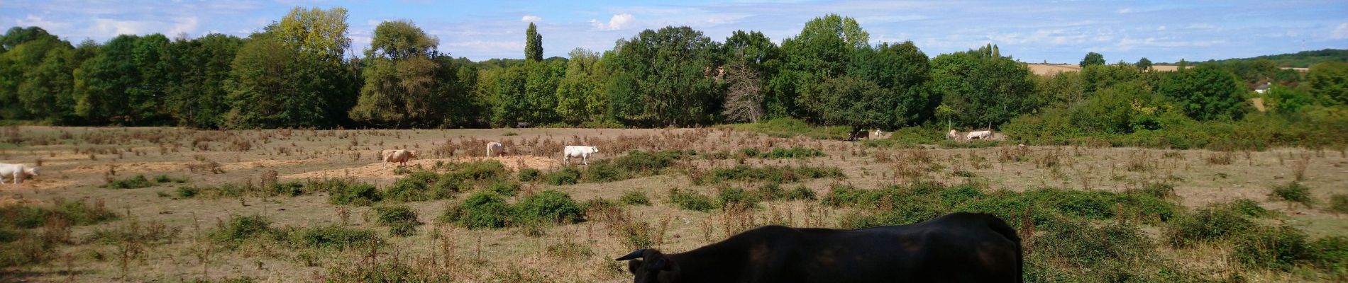
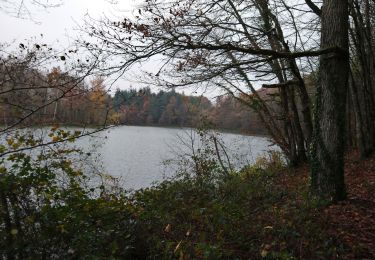
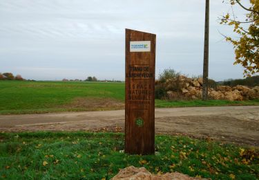
Positioning
Country:
France
Region :
Centre-Loire Valley
Department/Province :
Indre-et-Loire
Municipality :
Auzouer-en-Touraine
Location:
Unknown
Start:(Dec)
Start:(UTM)
343546 ; 5267808 (31T) N.
Comments
Trails nearby
![Trail Walking Villedômer - la Grand'Vallée - Saint-Laurent-en-Gâtines via PRs - 26.8km 225m 5h35 (35mn) - 2022 12 03 - Photo](https://media.geolcdn.com/t/375/260/8b7d114e-fe4f-44eb-8278-b583e99468bd.jpg&format=jpg&maxdim=2)
![Walking Walking](https://static1.geolcdn.com/sitytour/trail-icons/101.png)
la Grand'Vallée - Saint-Laurent-en-Gâtines via PRs - 26.8km 225m 5h35 (35mn) ...
Walking
Medium
Villedômer,
Centre-Loire Valley,
Indre-et-Loire,
France
![](/images/other/stat-length.png)
27 km | 30 km-effort
5h 35min
![](https://static1.geolcdn.com/siteimages/upload/files/16400158638029165_repeat_loop_refresh_sync_direction_icon.png)
Yes
![Trail Walking Villedômer - Étang de l'Archevêque - Crotelles la Grand' Vallée - 20.3km 215m 4h25 (35mn) - 2022 11 26 - Photo](https://media.geolcdn.com/t/375/260/8eae5aaa-0c3c-4826-a622-21410b89935e.jpg&format=jpg&maxdim=2)
![Walking Walking](https://static1.geolcdn.com/sitytour/trail-icons/101.png)
Étang de l'Archevêque - Crotelles la Grand' Vallée - 20.3km 215m 4h25 (35mn) ...
Walking
Easy
Villedômer,
Centre-Loire Valley,
Indre-et-Loire,
France
![](/images/other/stat-length.png)
20 km | 23 km-effort
4h 25min
![](https://static1.geolcdn.com/siteimages/upload/files/16400158638029165_repeat_loop_refresh_sync_direction_icon.png)
Yes
![Trail Walking Neuillé-le-Lierre - Neuillé-le-Lierre - Étang de l'Archevêque - 21.4km 180m 4h45 (35mn) - 2022 11 11 - Photo](https://media.geolcdn.com/t/375/260/f32d6857-8755-4dae-bc1c-5d60b14fa7ab.jpg&format=jpg&maxdim=2)
![Walking Walking](https://static1.geolcdn.com/sitytour/trail-icons/101.png)
Neuillé-le-Lierre - Étang de l'Archevêque - 21.4km 180m 4h45 (35mn) - 2022 11 11
Walking
Easy
Neuillé-le-Lierre,
Centre-Loire Valley,
Indre-et-Loire,
France
![](/images/other/stat-length.png)
21 km | 24 km-effort
4h 45min
![](https://static1.geolcdn.com/siteimages/upload/files/16400158638029165_repeat_loop_refresh_sync_direction_icon.png)
Yes
![Trail Walking Château-Renault - Château-Renault - GR655ouest Villechauve - 21.9km 235m 4h55 (30mn) - 2021 10 23 - Photo](https://media.geolcdn.com/t/375/260/f56af21b-37d8-43a1-8e30-6f94c58a9a00.jpg&format=jpg&maxdim=2)
![Walking Walking](https://static1.geolcdn.com/sitytour/trail-icons/101.png)
Château-Renault - GR655ouest Villechauve - 21.9km 235m 4h55 (30mn) - 2021 10 23
Walking
Easy
Château-Renault,
Centre-Loire Valley,
Indre-et-Loire,
France
![](/images/other/stat-length.png)
22 km | 25 km-effort
4h 55min
![](https://static1.geolcdn.com/siteimages/upload/files/16400158638029165_repeat_loop_refresh_sync_direction_icon.png)
Yes
![Trail Walking Auzouer-en-Touraine - Auzouer-en-Touraine - circuit de la Quintaine - 12.7km 150m 2h40 - 2021 07 06 - Photo](https://media.geolcdn.com/t/375/260/3b343954-d302-40ba-b336-fb9df6b89cbf.jpg&format=jpg&maxdim=2)
![Walking Walking](https://static1.geolcdn.com/sitytour/trail-icons/101.png)
Auzouer-en-Touraine - circuit de la Quintaine - 12.7km 150m 2h40 - 2021 07 06
Walking
Easy
Auzouer-en-Touraine,
Centre-Loire Valley,
Indre-et-Loire,
France
![](/images/other/stat-length.png)
12.7 km | 14.7 km-effort
2h 40min
![](https://static1.geolcdn.com/siteimages/upload/files/16400158638029165_repeat_loop_refresh_sync_direction_icon.png)
Yes
![Trail Walking Villedômer - Villedômer - Le sentier des Bois - 22.4km 265m 5h05 (25mn) - 2019 08 10 - Photo](https://media.geolcdn.com/t/375/260/bf722cc0-91b1-46aa-bfeb-b4446fdcac70.jpg&format=jpg&maxdim=2)
![Walking Walking](https://static1.geolcdn.com/sitytour/trail-icons/101.png)
Villedômer - Le sentier des Bois - 22.4km 265m 5h05 (25mn) - 2019 08 10
Walking
Easy
Villedômer,
Centre-Loire Valley,
Indre-et-Loire,
France
![](/images/other/stat-length.png)
22 km | 26 km-effort
5h 5min
![](https://static1.geolcdn.com/siteimages/upload/files/16400158638029165_repeat_loop_refresh_sync_direction_icon.png)
Yes
![Trail Walking Villedômer - Villedomer - Étang de l'Arche - Photo](https://media.geolcdn.com/t/375/260/cc6a816a-f3f4-48e1-b54d-93d3dbb3b0cd.jpg&format=jpg&maxdim=2)
![Walking Walking](https://static1.geolcdn.com/sitytour/trail-icons/101.png)
Villedomer - Étang de l'Arche
Walking
Very easy
Villedômer,
Centre-Loire Valley,
Indre-et-Loire,
France
![](/images/other/stat-length.png)
8.7 km | 10.3 km-effort
2h 34min
![](https://static1.geolcdn.com/siteimages/upload/files/16400158638029165_repeat_loop_refresh_sync_direction_icon.png)
Yes
![Trail Walking Neuillé-le-Lierre - Neuillé-le-Lierre - Château-Renault - 25.4km 300m 5h00 (30mn) - 2019 02 16 - Photo](https://media.geolcdn.com/t/375/260/1825a49e-9bcd-4895-83ba-af7468c33b8b.jpg&format=jpg&maxdim=2)
![Walking Walking](https://static1.geolcdn.com/sitytour/trail-icons/101.png)
Neuillé-le-Lierre - Château-Renault - 25.4km 300m 5h00 (30mn) - 2019 02 16
Walking
Easy
Neuillé-le-Lierre,
Centre-Loire Valley,
Indre-et-Loire,
France
![](/images/other/stat-length.png)
25 km | 30 km-effort
5h 0min
![](https://static1.geolcdn.com/siteimages/upload/files/16400158638029165_repeat_loop_refresh_sync_direction_icon.png)
Yes
![Trail Walking Villedômer - 2022.01.27,- 6.5 km - Villedomer - Photo](https://media.geolcdn.com/t/375/260/7e017ebf-d4de-4649-bd75-56d169af08f8.jpg&format=jpg&maxdim=2)
![Walking Walking](https://static1.geolcdn.com/sitytour/trail-icons/101.png)
2022.01.27,- 6.5 km - Villedomer
Walking
Medium
Villedômer,
Centre-Loire Valley,
Indre-et-Loire,
France
![](/images/other/stat-length.png)
6.6 km | 8.3 km-effort
2h 18min
![](https://static1.geolcdn.com/siteimages/upload/files/16400158638029165_repeat_loop_refresh_sync_direction_icon.png)
Yes