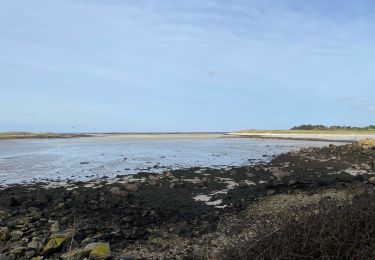
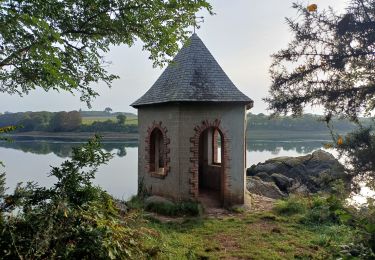
9.7 km | 10.8 km-effort
Tour de Landéda
ilur56
User
Length
17.8 km
Max alt
53 m
Uphill gradient
178 m
Km-Effort
20 km
Min alt
-2 m
Downhill gradient
178 m
Boucle
Yes
Creation date :
2022-09-02 07:51:20.638
Updated on :
2022-09-09 12:30:32.508
4h28
Difficulty : Medium
FREE GPS app for hiking
About
Trail Walking of 17.8 km to be discovered at Brittany, Finistère, Landéda. This trail is proposed by ilur56.
Description
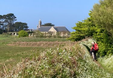
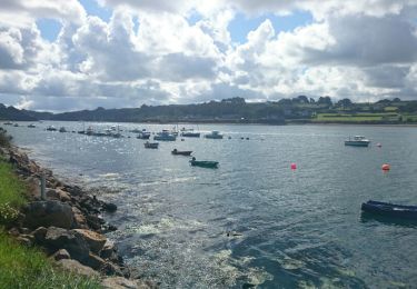
Départ du port de l'Aber Wrac'h sur le GR34 et retour à l'entrée de l'aber Benoît via le bourg de Landéda
Positioning
Country:
France
Region :
Brittany
Department/Province :
Finistère
Municipality :
Landéda
Location:
Unknown
Start:(Dec)
Start:(UTM)
385020 ; 5383763 (30U) N.
Comments
Trails nearby
La tête de l'île
Walking
Easy
(1)
Plouguerneau,
Brittany,
Finistère,
France
6.1 km | 6.7 km-effort
1h 52min
Yes
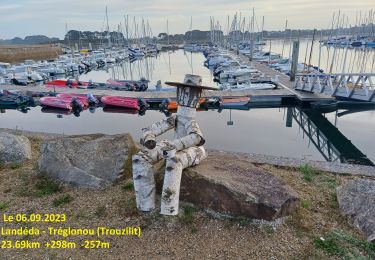
06.09.24 Landéda -- Treglonou (Touzilit)
Walking
Very difficult
Landéda,
Brittany,
Finistère,
France
24 km | 28 km-effort
6h 15min
No
05.09.23 Lilia -- Landéda
Walking
Very difficult
Plouguerneau,
Brittany,
Finistère,
France
17.1 km | 21 km-effort
4h 43min
No
St Michel à St Pabu
Bicycle tourism
Medium
Plouguerneau,
Brittany,
Finistère,
France
55 km | 63 km-effort
5h 2min
No
AberWrac'h - Traon Bizin - 4km
Walking
Medium
(1)
Landéda,
Brittany,
Finistère,
France
4.1 km | 5 km-effort
1h 0min
Yes
Aberwac’h la dune (boucle)
Walking
Easy
Landéda,
Brittany,
Finistère,
France
15.3 km | 17.3 km-effort
3h 49min
Yes
Penn Enez ter
On foot
Easy
(1)
Landéda,
Brittany,
Finistère,
France
3.2 km | 3.4 km-effort
47min
Yes
07.09.23 Trouzilit -- Ploudalmézeau
Walking
Very difficult
Tréglonou,
Brittany,
Finistère,
France
23 km | 27 km-effort
6h 5min
No