


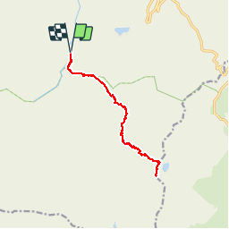


12.6 km | 20 km-effort

User GUIDE


FREE GPS app for hiking
 SityTrail
IGN / Geographical institutes
SityTrail World
The world is yours!
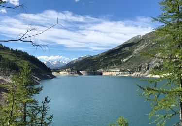
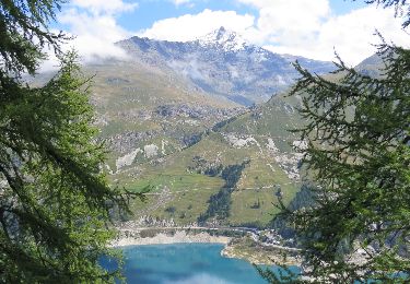
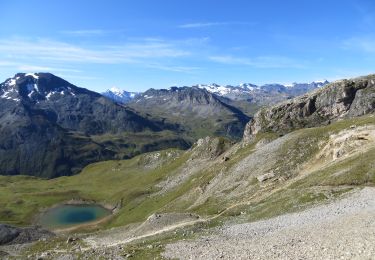
Trail Walking of 14.1 km to be discovered at Auvergne-Rhône-Alpes, Savoy, Val-d'Isère. This trail is proposed by amiral13.
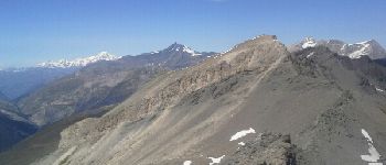
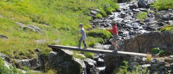
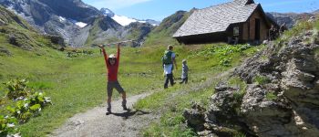
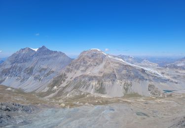
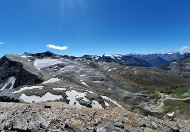
la montée jusqu'au refuge s’effectue sur un bon chemin, avec en fond le dôme de la sache, le mont pourri et la grande sassiere.
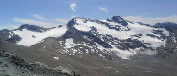
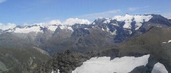
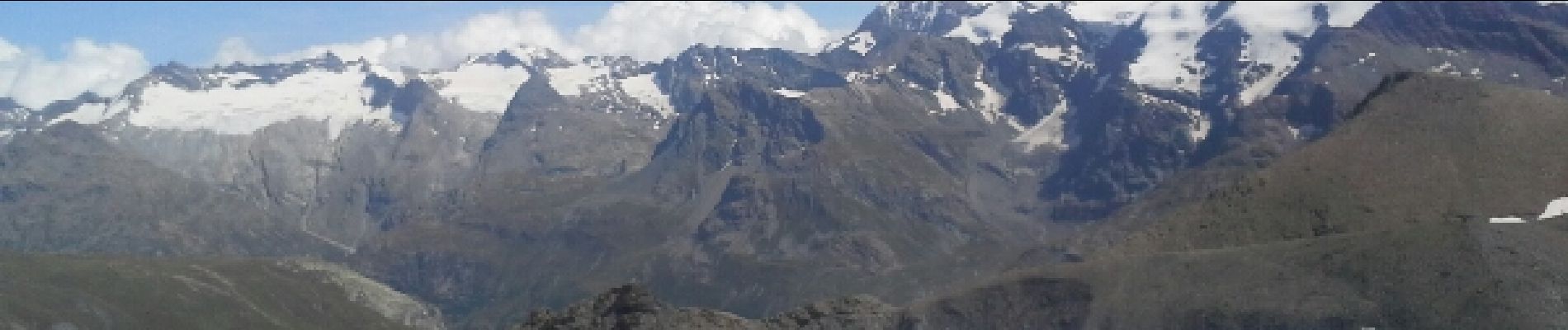
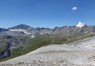
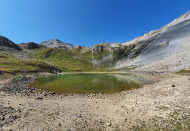
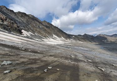
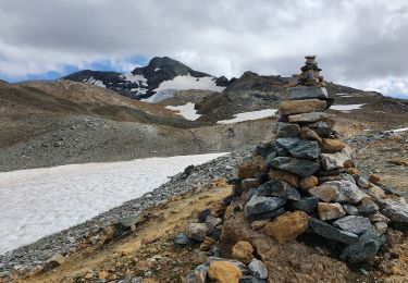
le col s'atteint facilement en suivant un sentier bien tracé. du col une sente assez facile vous guide jusqu'au sommet, ou vous attends un superbe panorama . en début de saison la présence de neige doit rendre beaucoup plus difficile l'itinéraire menant au sommet, alors prudence.


Walking
Walking
Walking
Walking
Walking
Walking
Walking
Walking
Walking