


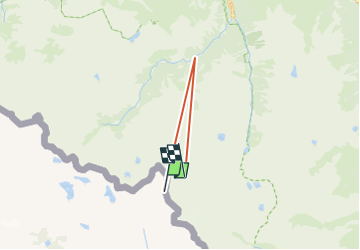

18.8 km | 31 km-effort


User


FREE GPS app for hiking
 SityTrail
IGN / Geographical institutes
SityTrail World
The world is yours!
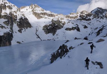
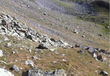
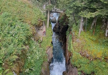
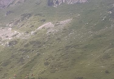
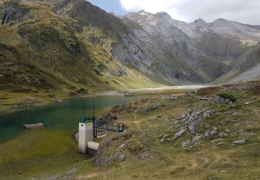
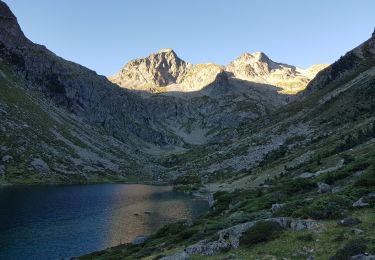
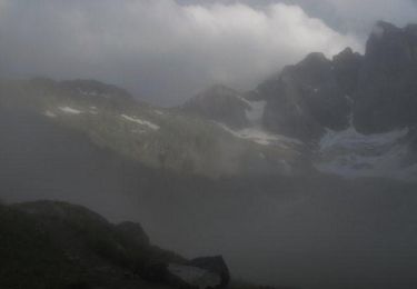
Trail Walking of 14.3 km to be discovered at Aragon, Huesca, Torla-Ordesa. This trail is proposed by cyrille78.
Walking
Walking
Walking
Walking

On foot
On foot
Walking
Walking
Walking