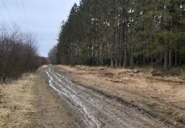
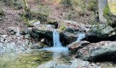
Trail Walking Aywaille - Le vallon du Ninglinspo à Aywaille - Photo

Le vallon du Ninglinspo à Aywaille

 Benjamin27
Benjamin27

User GUIDE

© OpenStreetMap contributors
Length
Length
6.1 km
Max alt
Max alt
389 m
Uphill gradient
Uphill gradient
232 m
Km-Effort
Km-Effort  
9.2 km
Min alt
Min alt
156 m
Downhill gradient
Downhill gradient
233 m
Boucle
Boucle
Yes
Creation date :
2022-08-27 10:32:01.927
Updated on :
2022-08-27 19:00:50.753

(3 Reviews)

Walking
Walking
2h06
Difficulty : Medium

Scan this QR Code to open this trail in the SityTrail application

FREE GPS app for hiking

Logo SityTrail SityTrail

IGN / Geographical institutes

Download SityTrail from the App Store Download SityTrail from Google Play

Logo SityTrail SityTrail World

The world is yours!

Download SityTrail from the App Store Download SityTrail from Google Play Download SityTrail on Huawei AppGallery

About

Trail Walking of 6.1 km to be discovered at Wallonia, Liège, Aywaille. This trail is proposed by Benjamin27.

Description

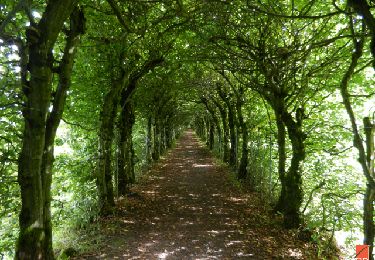
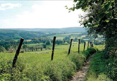
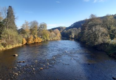
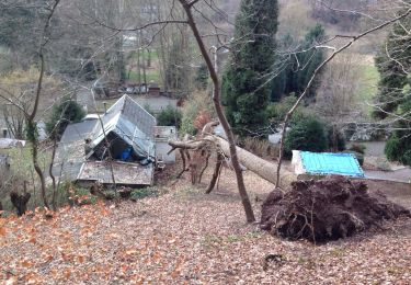
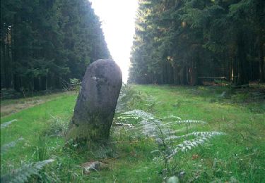
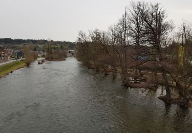
! Actuellement fermé  Dans la vallée de l’Amblève, l’érosion a creusé dans la roche un vallon sauvage où coule l’un des plus bucoliques ruisseaux du pays. Découverte d’un petit coin de paradis…  Ninglinspo : quel joli nom pour un ruisseau ! Vous serez enchantés par le murmure de l’eau bondissante sur les rochers et les galets. Le sentier, tracé au long du torrent, est des plus étonnants, avec des passages sur des passerelles en bois. Au fil des ponts et des passages à gué, le sentier pénètre au cœur de l’étrange en surplombant les vasques comme « la Chaudière » et le « Bain de Diane » qui voient s’abreuver biches et sangliers. Au sommet, le retour s’effectue dans une grande forêt, non sans passer par le beau point de vue Drouot.  Randonnée issue de la brochure "15 balades familiales insolites" à télécharger ici: https://walloniebelgiquetourisme.be/fr-be/3/jaime/wallonie-insolite/guide-de-balades-insolites

Elevation profile

Photos

Points of interest

Point of interest Aywaille -  - Photo
Benjamin27
AYWAILLE 

Positioning

Country:
Belgium
Region :
Wallonia
Department/Province :
Liège
Municipality :
Aywaille
Location:
Unknown
Start:(UTM)
694668 ; 5594332 (31U) N.

Comments

Please log in to post a review or rate the element


Trails nearby

Trail Walking Theux - RB-Lg-24_La-Reid_via-racc-1 - Photo
Walking
PRO

Walking

(11)
Theux, Wallonia, Liège, Belgium
15.9 km | 21 km-effort
4h 50min
Yes
Trail Walking Theux - RB-Lg-24_La-Reid - Photo
Walking
PRO

Walking

(8)
Theux, Wallonia, Liège, Belgium
21 km | 28 km-effort
6h 22min
Yes
Trail Walking Aywaille - RB-Lg-12 - De Sougné-Remouchamps à Deigné et retour - Photo
Walking
PRO

Walking

Difficult
(9)
Aywaille, Wallonia, Liège, Belgium
24 km | 34 km-effort
7h 39min
Yes
Trail Walking Aywaille - aywaille  . florzé . martinrive . septroux . aywaille - Photo
Walking
GUIDE
stef789

Walking

Easy
(6)
Aywaille, Wallonia, Liège, Belgium
11.1 km | 15.4 km-effort
2h 48min
Yes
Trail Walking Aywaille - Petite remontée du Ninglispo - Photo
Walking
henriantoine

Walking

Medium
(9)
Aywaille, Wallonia, Liège, Belgium
6.7 km | 9.7 km-effort
2h 11min
Yes
Trail Walking Aywaille - RB-LG-12 - Raccourci 2 - Photo
Walking
PRO

Walking

Difficult
(6)
Aywaille, Wallonia, Liège, Belgium
17 km | 25 km-effort
5h 46min
Yes
Trail Walking Aywaille - 2021-04-23_12h03m48_1081 - Photo
Walking
GUIDE
mumu.larandonneuse

Walking

Medium
(1)
Aywaille, Wallonia, Liège, Belgium
17.3 km | 24 km-effort
5h 25min
Yes
Trail Walking Aywaille - 2021-02-21_16h28m36_1382 - Photo
Walking
GUIDE
mumu.larandonneuse

Walking

Medium
(1)
Aywaille, Wallonia, Liège, Belgium
15.7 km | 22 km-effort
4h 53min
Yes
Trail Walking Theux - vertbuisson . chefna . porallee  . éolienne bronrome . vertbuisson - Photo
Walking
GUIDE
stef789

Walking

Very easy
(1)
Theux, Wallonia, Liège, Belgium
8.8 km | 10.4 km-effort
2h 10min
No


Close
My subscriptions