


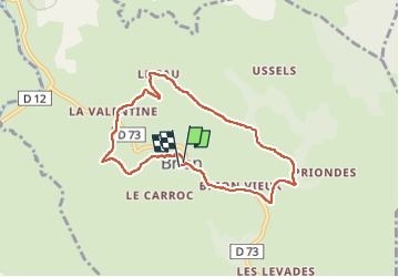

18.4 km | 24 km-effort


User


FREE GPS app for hiking
 SityTrail
IGN / Geographical institutes
SityTrail World
The world is yours!
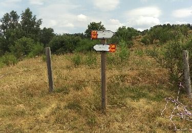
Trail Walking of 7.4 km to be discovered at Occitania, Lozère, Brion. This trail is proposed by Thierry Lucile.
En Lozère. Joli chemin ombragé en début de randonnée. Beau point de vue sur la Margeride, le Mont Lozère, plateau d'Aubrac, Vallée du Bès, Monts du Cantal, Massifs du Sancy et du Cézalier depuis le Puech 1266 m.

Walking

Walking
Walking


Walking
Walking

Walking
Walking