


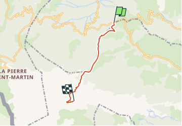

8.3 km | 12.1 km-effort


User


FREE GPS app for hiking
 SityTrail
IGN / Geographical institutes
SityTrail World
The world is yours!
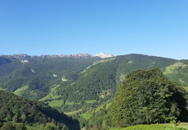
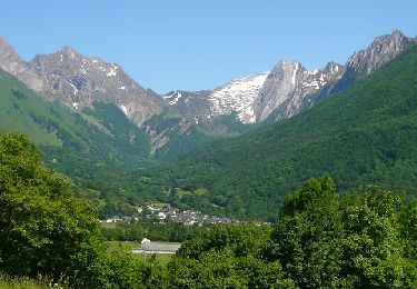
Trail Walking of 6.8 km to be discovered at New Aquitaine, Pyrénées-Atlantiques, Osse-en-Aspe. This trail is proposed by dporcher.
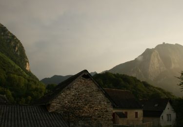
Sympa; la cabane d'Ichéus est déjà un très bel endroit de balade. Après la cabane, le sentier n'est pas difficile à suivre (caïrns) et vieilles marques. Hors sentier depuis le pas q'Azun avec quelques endroits où il faut mettre les mains

On foot
On foot
On foot
On foot
On foot
On foot
On foot
Walking
Walking