

Le Layens depuis Belaube

dporcher
User

Length
5.1 km

Max alt
1602 m

Uphill gradient
935 m

Km-Effort
14.5 km

Min alt
655 m

Downhill gradient
1 m
Boucle
No
Creation date :
2022-08-24 12:15:03.783
Updated on :
2022-08-24 12:18:34.345
3h17
Difficulty : Difficult

FREE GPS app for hiking
About
Trail Walking of 5.1 km to be discovered at New Aquitaine, Pyrénées-Atlantiques, Lourdios-Ichère. This trail is proposed by dporcher.
Description
Très raide et paumatoire, très peu empruntée , donc recherche du chemin. Effectuée en suivant le guide Véron . Aucun danger objectif cependant . Panorama sompteux
Positioning
Country:
France
Region :
New Aquitaine
Department/Province :
Pyrénées-Atlantiques
Municipality :
Lourdios-Ichère
Location:
Unknown
Start:(Dec)
Start:(UTM)
690563 ; 4768035 (30T) N.
Comments
Trails nearby
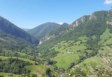
Circuit les fougeraies lourdios-Ichère


Walking
Easy
(1)
Lourdios-Ichère,
New Aquitaine,
Pyrénées-Atlantiques,
France

5.6 km | 9.8 km-effort
2h 14min
Yes
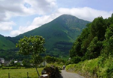
Le Tour de Saudious


Walking
Medium
(1)
Bedous,
New Aquitaine,
Pyrénées-Atlantiques,
France

6 km | 8.7 km-effort
1h 30min
Yes
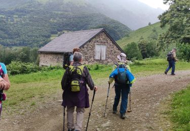
BEDOUS le tour du Pouey autrement "4119701"


Walking
Difficult
Bedous,
New Aquitaine,
Pyrénées-Atlantiques,
France

9 km | 13.4 km-effort
3h 2min
Yes

Chemins du Gave asp12


On foot
Easy
Bedous,
New Aquitaine,
Pyrénées-Atlantiques,
France

11.2 km | 12.9 km-effort
2h 56min
Yes

Trail d'Ourdinse asp18


On foot
Very difficult
Bedous,
New Aquitaine,
Pyrénées-Atlantiques,
France

27 km | 55 km-effort
12h 34min
No

Tour des Fontaines asp16


On foot
Easy
Bedous,
New Aquitaine,
Pyrénées-Atlantiques,
France

7.5 km | 14.8 km-effort
3h 22min
No

Tour de Soudious asp10


On foot
Easy
Bedous,
New Aquitaine,
Pyrénées-Atlantiques,
France

4.8 km | 7.2 km-effort
1h 37min
No
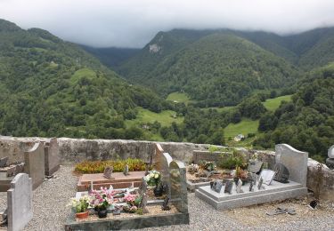
Chemin des Jaupins asp14


On foot
Easy
Bedous,
New Aquitaine,
Pyrénées-Atlantiques,
France

8.2 km | 14.7 km-effort
3h 20min
No
Col de Laünde asp07


On foot
Easy
Lourdios-Ichère,
New Aquitaine,
Pyrénées-Atlantiques,
France

5.5 km | 11.3 km-effort
2h 33min
No


 SityTrail


