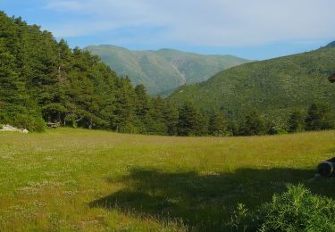
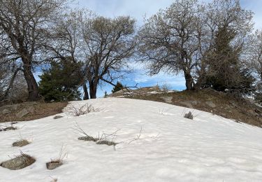
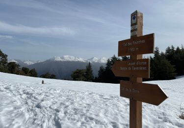
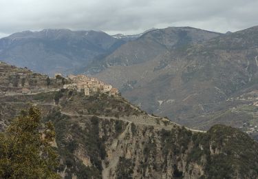
16.5 km | 31 km-effort
Col de la Sinne à la Lauve d’Ilonse
Jean Laversanne
User
Length
15.3 km
Max alt
1988 m
Uphill gradient
674 m
Km-Effort
24 km
Min alt
1436 m
Downhill gradient
669 m
Boucle
Yes
Creation date :
2022-08-20 09:16:32.0
Updated on :
2022-08-23 16:02:08.931
3h48
Difficulty : Very difficult
FREE GPS app for hiking
About
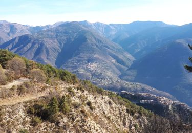
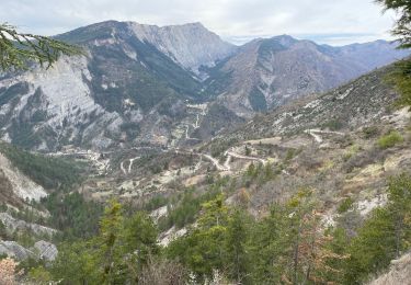
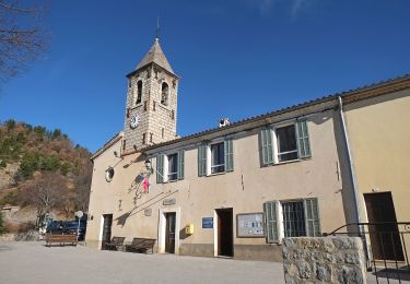
Trail Walking of 15.3 km to be discovered at Provence-Alpes-Côte d'Azur, Maritime Alps, Ilonse. This trail is proposed by Jean Laversanne.
Positioning
Country:
France
Region :
Provence-Alpes-Côte d'Azur
Department/Province :
Maritime Alps
Municipality :
Ilonse
Location:
Unknown
Start:(Dec)
Start:(UTM)
345190 ; 4876556 (32T) N.
Comments
Trails nearby
Tour du mont Falourde
On foot
Medium
Bairols,
Provence-Alpes-Côte d'Azur,
Maritime Alps,
France
6h 58min
Yes
Tour du Mont de Lieuche
On foot
Medium
Pierlas,
Provence-Alpes-Côte d'Azur,
Maritime Alps,
France
12.2 km | 20 km-effort
4h 36min
Yes
Pointe des 4 Cantons
Walking
Very difficult
Bairols,
Provence-Alpes-Côte d'Azur,
Maritime Alps,
France
12.2 km | 25 km-effort
5h 45min
Yes
Lauvet d’Ilonse
Snowshoes
Difficult
Ilonse,
Provence-Alpes-Côte d'Azur,
Maritime Alps,
France
11.7 km | 21 km-effort
4h 54min
Yes
Mont Falourde depuis Bairoldmd
Walking
Medium
Bairols,
Provence-Alpes-Côte d'Azur,
Maritime Alps,
France
12.7 km | 22 km-effort
4h 3min
Yes
Pointe des 4 cantons de Bairols retour col de l'espella
Walking
Difficult
Bairols,
Provence-Alpes-Côte d'Azur,
Maritime Alps,
France
14.7 km | 29 km-effort
4h 43min
Yes
Lieuche brec d ilonse
Walking
Very difficult
Lieuche,
Provence-Alpes-Côte d'Azur,
Maritime Alps,
France
20 km | 36 km-effort
5h 10min
Yes
Circuit du Grand Palier
On foot
Easy
Lieuche,
Provence-Alpes-Côte d'Azur,
Maritime Alps,
France
9.3 km | 14.6 km-effort
3h 18min
Yes
PIERĹAS FFRS
Walking
Medium
Pierlas,
Provence-Alpes-Côte d'Azur,
Maritime Alps,
France
10.1 km | 17 km-effort
3h 40min
Yes