


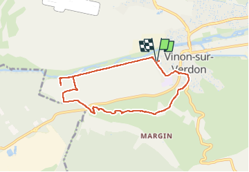

12.1 km | 16.3 km-effort


User


FREE GPS app for hiking
 SityTrail
IGN / Geographical institutes
SityTrail World
The world is yours!
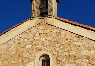
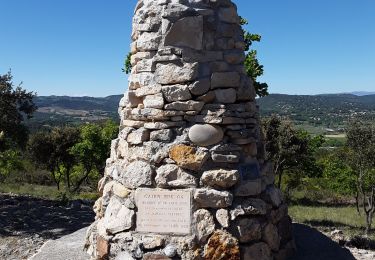
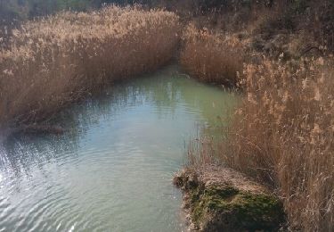
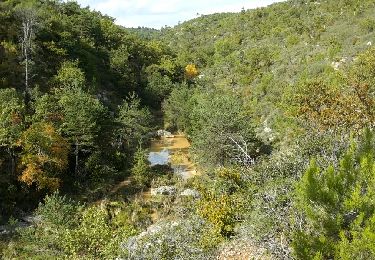
Trail Nordic walking of 7.9 km to be discovered at Provence-Alpes-Côte d'Azur, Var, Vinon-sur-Verdon. This trail is proposed by cocojean.
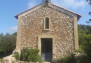
départ maison ferme Bourillon route var /bdr colline retour chapelle Vinon puis quartier des jardins temps environ 1h 15 1h45
Walking

Walking
Nordic walking
Walking
Walking

Walking
Walking
Walking
Walking