


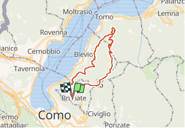


6.2 km | 9.2 km-effort


User GUIDE


FREE GPS app for hiking
 SityTrail
IGN / Geographical institutes
SityTrail World
The world is yours!
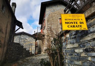
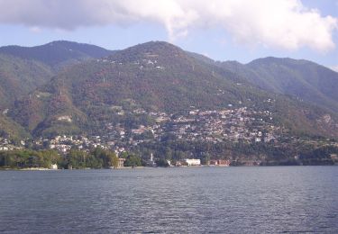
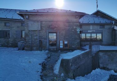
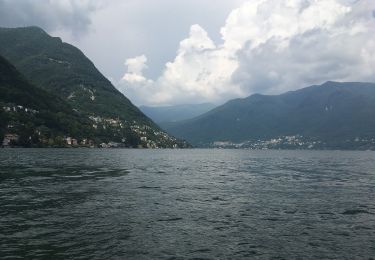
Trail Walking of 15.3 km to be discovered at Lombardy, Como, Brunate. This trail is proposed by chessyca.
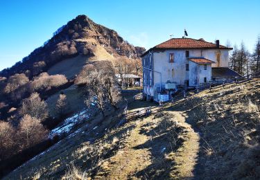
Splendide parcours plutôt sportif.
Le plus : Effectuée dans ce sens, l'ombre est présente toute la journée et la descende est moins périlleuse


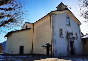
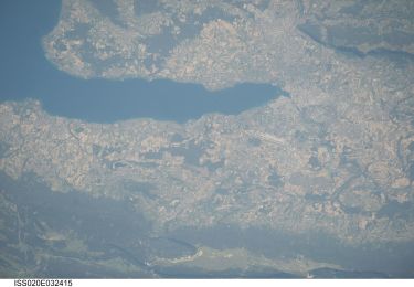
50 photos in total. Please click on a photo to see them all in the gallery.
On foot
On foot
On foot
On foot
On foot

On foot

Other activity