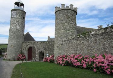
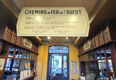
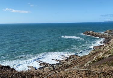
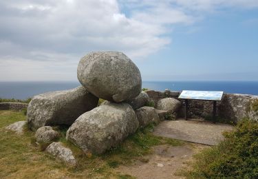
23 km | 28 km-effort
Flamanville
arnaudconde
User
Length
9.2 km
Max alt
83 m
Uphill gradient
193 m
Km-Effort
11.8 km
Min alt
16 m
Downhill gradient
199 m
Boucle
No
Creation date :
2022-08-20 15:07:23.371
Updated on :
2022-08-21 12:38:43.236
1h43
Difficulty : Medium
FREE GPS app for hiking
About
Trail Walking of 9.2 km to be discovered at Normandy, Manche, Flamanville. This trail is proposed by arnaudconde.
Positioning
Country:
France
Region :
Normandy
Department/Province :
Manche
Municipality :
Flamanville
Location:
Unknown
Start:(Dec)
Start:(UTM)
582038 ; 5486926 (30U) N.
Comments
Trails nearby
Séjour Cotentin Etape 5 Les Pieux - Barneville
Walking
Easy
Les Pieux,
Normandy,
Manche,
France
24 km | 28 km-effort
5h 8min
No
Tour du cap de Flamanville
Walking
Difficult
Flamanville,
Normandy,
Manche,
France
11.5 km | 14.6 km-effort
4h 0min
Yes
Rando des Caps 2013 - 65 km - Flamanville
Mountain bike
Difficult
Flamanville,
Normandy,
Manche,
France
60 km | 73 km-effort
3h 30min
Yes
Rando des Caps 2013 - Flamanville
Mountain bike
Difficult
Flamanville,
Normandy,
Manche,
France
41 km | 48 km-effort
2h 45min
Yes
Entre terre et mer - Les Pieux
Running
Difficult
Les Pieux,
Normandy,
Manche,
France
23 km | 28 km-effort
3h 0min
Yes
21 Aout Flamanville plage du sciotot boucle terre et mer
Walking
Very difficult
Flamanville,
Normandy,
Manche,
France
22 km | 27 km-effort
5h 26min
Yes
Le Rozel - Cap de Rozel
Walking
Medium
Le Rozel,
Normandy,
Manche,
France
7.9 km | 9.3 km-effort
2h 47min
Yes