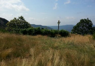
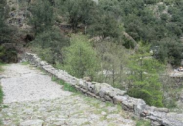
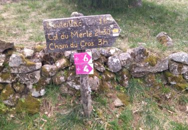
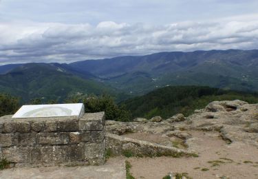
Trail Equestrian Sanilhac - Des Cévennes au Tanargue - Photo

Des Cévennes au Tanargue

© OpenStreetMap contributors
Length
Length
95 km
Max alt
Max alt
1225 m
Uphill gradient
Uphill gradient
3280 m
Km-Effort
Km-Effort  
138 km
Min alt
Min alt
141 m
Downhill gradient
Downhill gradient
3283 m
Boucle
Boucle
Yes
Creation date :
2022-08-19 14:04:34.16
Updated on :
2024-10-10 20:47:51.933

(0 Reviews)

Equestrian
Equestrian
0m
Difficulty : Medium

Scan this QR Code to open this trail in the SityTrail application

FREE GPS app for hiking

Logo SityTrail SityTrail

IGN / Geographical institutes

Download SityTrail from the App Store Download SityTrail from Google Play

Logo SityTrail SityTrail World

The world is yours!

Download SityTrail from the App Store Download SityTrail from Google Play Download SityTrail on Huawei AppGallery

About

Trail Equestrian of 95 km to be discovered at Auvergne-Rhône-Alpes, Ardèche, Sanilhac. This trail is proposed by AnaisLambert.

Description

123km
4 à 6 jours.
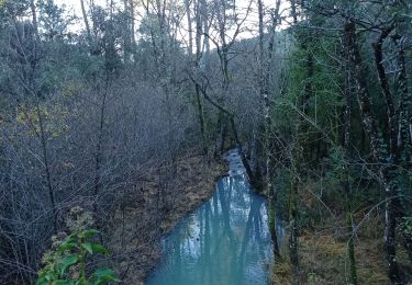
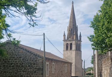
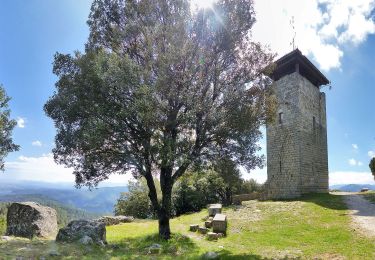
Boucle variée au relief escarpé qui associe un climat de campagne au nord avec ses forêts de conifères aux paysages de guarrigues et de pierres au sud.Les nombreux villages médiévaux de caractère s'échelonnent le long d'impétueuses rivières s'écoulant dans des magnifiques gorges.
Randonnées de préférence en inter saisons,printemps,automne.

Elevation profile

Points of interest

Point of interest Loubaresse - Gîte de l'Eglise LOUBARESSE - Photo
AnaisLambert
Point of interest Saint-Pierre-Saint-Jean - Gîte Les Alrassets - Photo
AnaisLambert
SAINT-PIERRE-SAINT-JEAN 
Point of interest Faugères - Bastide d’Aguyane - Photo
AnaisLambert
Point of interest Les Salelles - Ferme équestre Le Foussac - Photo
AnaisLambert
Point of interest Montselgues - La Bombine - Photo
AnaisLambert
MONTSELGUES 
Point of interest Beaumont - Gîte Au Sentier des Arches - Photo
AnaisLambert
Point of interest Planzolles - Auberge de Planzolles - Photo
AnaisLambert

Positioning

Country:
France
Region :
Auvergne-Rhône-Alpes
Department/Province :
Ardèche
Municipality :
Sanilhac
Location:
Unknown
Start:(UTM)
597183 ; 4932130 (31T) N.

Trails nearby

Trail Mountain bike Joannas - roubreau col de bauzon  - Photo
Mountain bike
mouss65

Mountain bike

Very difficult
(1)
Joannas, Auvergne-Rhône-Alpes, Ardèche, France
65 km | 93 km-effort
6h 20min
Yes
Trail Walking Saint-André-Lachamp - le pont de la brousse - Photo
Walking
losjo

Walking

Difficult
(2)
Saint-André-Lachamp, Auvergne-Rhône-Alpes, Ardèche, France
21 km | 34 km-effort
8h 2min
Yes
Trail Walking Rocles - 07 pissas bouteillac - Photo
Walking
GUIDE
randodyssée

Walking

Medium
Rocles, Auvergne-Rhône-Alpes, Ardèche, France
11.8 km | 23 km-effort
7h 12min
Yes
Trail Walking Vernon - Vernon Tour de Brison 20km - Photo
Walking
GUIDE
thonyc

Walking

Difficult
Vernon, Auvergne-Rhône-Alpes, Ardèche, France
19.9 km | 29 km-effort
6h 0min
Yes
Trail Walking Vernon - 07 Vernon 25 02 2021 - Photo
Walking
GUIDE
randodyssée

Walking

Medium
Vernon, Auvergne-Rhône-Alpes, Ardèche, France
16.7 km | 25 km-effort
4h 10min
Yes
Trail Walking Sanilhac - 07 la tour de Brison  27/11/24 - Photo
Walking
silvestreclaudine

Walking

Very difficult
Sanilhac, Auvergne-Rhône-Alpes, Ardèche, France
14.8 km | 21 km-effort
6h 23min
Yes
Trail Road bike Sanilhac - 07 sanilhac largentiere gagnieres les vans - Photo
Road bike
GUIDE
randodyssée

Road bike

Medium
Sanilhac, Auvergne-Rhône-Alpes, Ardèche, France
89 km | 106 km-effort
6h 20min
No
Trail Walking Sanilhac - ARDECHE . SANILLAC.LA TOUR DE BRISON O N  - Photo
Walking
GUIDE
RobinMicheline

Walking

Difficult
Sanilhac, Auvergne-Rhône-Alpes, Ardèche, France
14.6 km | 21 km-effort
4h 37min
Yes
Trail Walking Ribes - Ribes - Photo
Walking
GUIDE
antignacs

Walking

Very easy
Ribes, Auvergne-Rhône-Alpes, Ardèche, France
14.9 km | 21 km-effort
6h 13min
Yes


Close
My subscriptions