


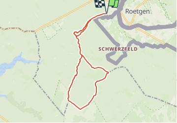

15 km | 17.8 km-effort


User GUIDE


FREE GPS app for hiking
 SityTrail
IGN / Geographical institutes
SityTrail World
The world is yours!
Trail Walking of 13.9 km to be discovered at Wallonia, Liège, Raeren. This trail is proposed by mumu.larandonneuse.
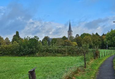
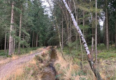
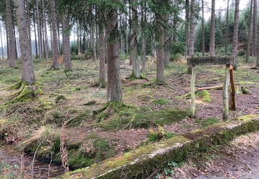
Le Reinartzhof, le Fagne de Kutenhart, l'Eschbach et la vallée de la Vesdre sont les points forts du parcours, bienvenue en terre sauvage !
Suivez les points-nœuds : 32 > 95 > 38 > 21 > 87 > 98 > 92 > 37 > 90 > 93 > 87 > 21 > 95 > 32
ℹ www.ostbelgien.eu ➡️ Balade n° 21
⚠️ 🐕 interdit
Walking
Walking
Walking
On foot
On foot
On foot
On foot
On foot
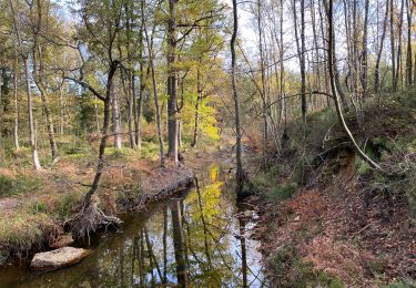
Magnifique, 100% nature. 💚 Coup de cœur. ‼️Au points-noeud 87, juste après le pont, après 20 m., il manque le balisage de rappel vers 98 pour tourner à droite et emprunter le petit sentier le long du ruisseau.