


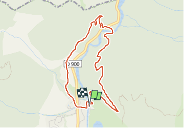

7.8 km | 13.4 km-effort

User


FREE GPS app for hiking
 SityTrail
IGN / Geographical institutes
SityTrail World
The world is yours!
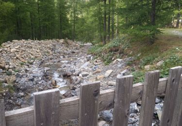
Trail Walking of 4.7 km to be discovered at Provence-Alpes-Côte d'Azur, Alpes-de-Haute-Provence, Jausiers. This trail is proposed by andre06130.
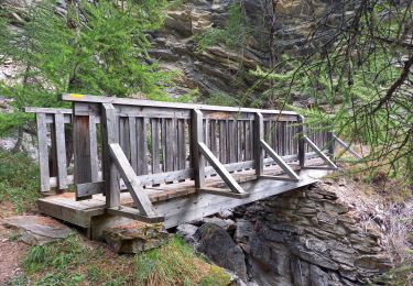
Passage aérien sur 50 m : a déconseiller aux sujets sensibles aux vertiges et aux jeunes enfants (ou prévoir une petite corde de sécurité)


Walking
Mountain bike

Walking
Electric bike
Walking
Walking
Walking
Walking
Walking