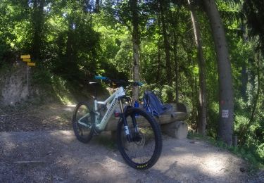
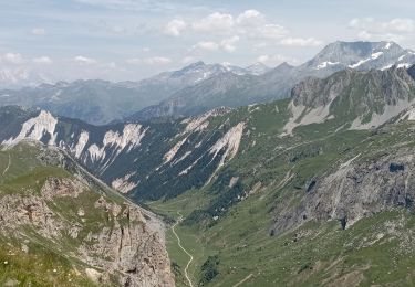
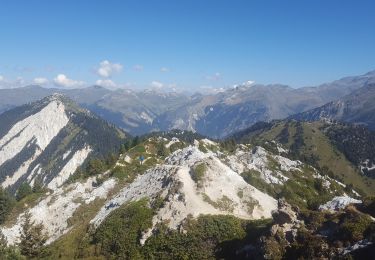
6.8 km | 11.1 km-effort
17.08.22 Bouc blanc La Tania Courchevel 1850
marchalombre
User
Length
3.1 km
Max alt
1921 m
Uphill gradient
37 m
Km-Effort
4 km
Min alt
1748 m
Downhill gradient
168 m
Boucle
No
Creation date :
2022-08-17 10:03:37.717
Updated on :
2022-08-17 11:26:22.892
1h22
Difficulty : Easy
FREE GPS app for hiking
About
Trail Walking of 3.1 km to be discovered at Auvergne-Rhône-Alpes, Savoy, Courchevel. This trail is proposed by marchalombre.
Positioning
Country:
France
Region :
Auvergne-Rhône-Alpes
Department/Province :
Savoy
Municipality :
Courchevel
Location:
La Perrière
Start:(Dec)
Start:(UTM)
312969 ; 5032073 (32T) N.
Comments
Trails nearby
lac des creux au départ de l'altiport
Walking
Easy
(1)
Courchevel,
Auvergne-Rhône-Alpes,
Savoy,
France
2h 40min
Yes
activity_9181659290 (1)
Mountain bike
Easy
Bozel,
Auvergne-Rhône-Alpes,
Savoy,
France
9.4 km | 13.8 km-effort
57min
Yes
Petit Mont Blanc par Courchevel
Walking
Easy
(1)
Courchevel,
Auvergne-Rhône-Alpes,
Savoy,
France
19.8 km | 34 km-effort
6h 59min
Yes
meribel ski 2
Other activity
Medium
(1)
Les Allues,
Auvergne-Rhône-Alpes,
Savoy,
France
67 km | 163 km-effort
5h 12min
Yes
mont de la guerre
Walking
Easy
(1)
Bozel,
Auvergne-Rhône-Alpes,
Savoy,
France
7.6 km | 21 km-effort
Unknown
No
Brêche de la Portetta
Walking
Very difficult
(1)
Courchevel,
Auvergne-Rhône-Alpes,
Savoy,
France
12.7 km | 27 km-effort
5h 0min
Yes
Col de la Lune depuis Le Villard
Mountain bike
Difficult
(1)
Les Allues,
Auvergne-Rhône-Alpes,
Savoy,
France
10.2 km | 18.1 km-effort
4h 0min
Yes
Lacs de Merlet
Walking
Difficult
Courchevel,
Auvergne-Rhône-Alpes,
Savoy,
France
9.5 km | 15 km-effort
4h 27min
Yes
Courchevel-Moriond, Lac de la Rosière, col de la Chal, crête du Mont Charve...
Walking
Difficult
(1)
Courchevel,
Auvergne-Rhône-Alpes,
Savoy,
France
12.8 km | 25 km-effort
5h 36min
Yes