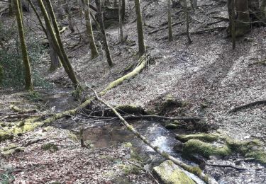
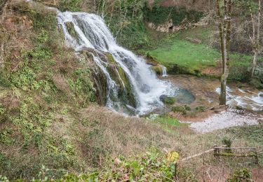
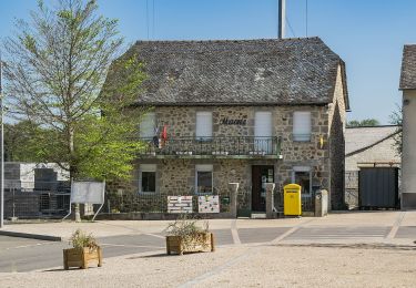
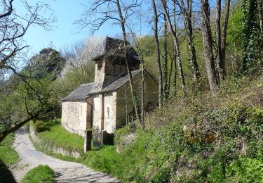
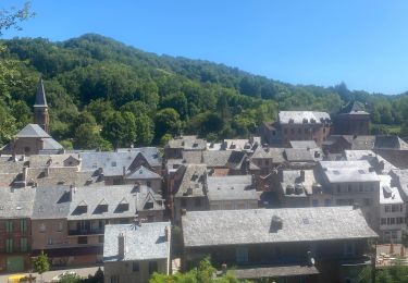
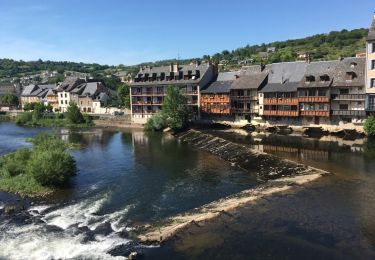
Trail Walking Villecomtal - La Chapelle de Servières - Photo

La Chapelle de Servières

 jpb83
jpb83

User

© OpenStreetMap contributors
Length
Length
9.5 km
Max alt
Max alt
540 m
Uphill gradient
Uphill gradient
316 m
Km-Effort
Km-Effort  
13.7 km
Min alt
Min alt
304 m
Downhill gradient
Downhill gradient
307 m
Boucle
Boucle
Yes
Creation date :
2022-08-17 07:14:51.399
Updated on :
2022-08-17 07:16:30.723

(0 Reviews)

Walking
Walking
3h06
Difficulty : Easy

Scan this QR Code to open this trail in the SityTrail application

FREE GPS app for hiking

Logo SityTrail SityTrail

IGN / Geographical institutes

Download SityTrail from the App Store Download SityTrail from Google Play

Logo SityTrail SityTrail World

The world is yours!

Download SityTrail from the App Store Download SityTrail from Google Play Download SityTrail on Huawei AppGallery

About

Trail Walking of 9.5 km to be discovered at Occitania, Aveyron, Villecomtal. This trail is proposed by jpb83.

Elevation profile

Points of interest

Point of interest Mouret - Parking mairie - Photo
jpb83
Point of interest Mouret - Le Mas Bas - Photo
jpb83
MOURET 
Point of interest Villecomtal - Pabotiés - Photo
jpb83
VILLECOMTAL 
Point of interest Villecomtal - Carrefou carral - Photo
jpb83
VILLECOMTAL 
Point of interest Villecomtal - Chapelle de Servières - Photo
jpb83
Point of interest Villecomtal - Carrefour avant le pont - Photo
jpb83
Point of interest Villecomtal - Parking mairie. Proche du - Photo
jpb83

Positioning

Country:
France
Region :
Occitania
Department/Province :
Aveyron
Municipality :
Villecomtal
Location:
Unknown
Start:(UTM)
465340 ; 4931894 (31T) N.

Trails nearby

Trail Walking Campuac - campuac - Photo
Walking
yves12

Walking

Medium
(1)
Campuac, Occitania, Aveyron, France
22 km | 32 km-effort
5h 8min
Yes
Trail On foot Muret-le-Château - Terra Trail 9 - Photo
On foot
GUIDE+

On foot

Easy
Muret-le-Château, Occitania, Aveyron, France
11 km | 12.6 km-effort
2h 52min
No
Trail On foot Campuac - Le Plateau de Campuac - Photo
On foot
GUIDE+

On foot

Easy
Campuac, Occitania, Aveyron, France
7.6 km | 9 km-effort
2h 2min
No
Trail On foot Mouret - La Chapelle de Servières - Photo
On foot
GUIDE+

On foot

Easy
Mouret, Occitania, Aveyron, France
5.6 km | 7.2 km-effort
1h 38min
No
Trail On foot Muret-le-Château - Les Corniches des Douzes - Photo
On foot
GUIDE+

On foot

Easy
Muret-le-Château, Occitania, Aveyron, France
12 km | 15.5 km-effort
3h 31min
Yes
Trail Electric bike Muret-le-Château - Villecomtal dans le 12 - Photo
Electric bike
papajp

Electric bike

Muret-le-Château, Occitania, Aveyron, France
5.7 km | 6.8 km-effort
21min
No
Trail Other activity Campuac - Atlamed campuac - espalion - Photo
Other activity
jbtregouet

Other activity

Very easy
Campuac, Occitania, Aveyron, France
26 km | 35 km-effort
6h 6min
No
Trail Mountain bike Campuac - Site VTT FFC - Gorges Lot et Truyère - Circuit n°1 Les Deux Clochers - Photo
Mountain bike
tracegps

Mountain bike

Difficult
Campuac, Occitania, Aveyron, France
25 km | 31 km-effort
1h 45min
Yes
Trail Walking Campuac - Campuac à Conques  - Photo
Walking
bernardecarnot

Walking

Difficult
Campuac, Occitania, Aveyron, France
22 km | 30 km-effort
7h 5min
No


Close
My subscriptions