


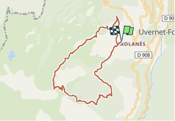

18.5 km | 37 km-effort


User


FREE GPS app for hiking
 SityTrail
IGN / Geographical institutes
SityTrail World
The world is yours!
Trail Walking of 10 km to be discovered at Provence-Alpes-Côte d'Azur, Alpes-de-Haute-Provence, Uvernet-Fours. This trail is proposed by Yves Locati.
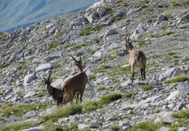
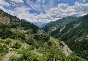
après 2.5 de marche le dénivelé est important ,une boucle qui part du Molanes ,le belvédère du fau ,pra loup,et Molanes.
Walking

Walking
Walking
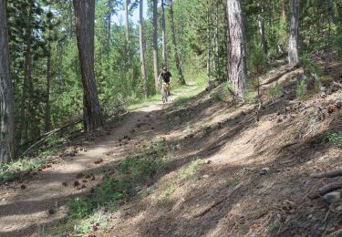
Mountain bike

Walking

Walking
Walking
On foot
Walking