14.7 km | 17.9 km-effort
Moelans Pontivy par les berges du Blavet
ilefebvre
User
Length
81 km
Max alt
109 m
Uphill gradient
983 m
Km-Effort
94 km
Min alt
0 m
Downhill gradient
959 m
Boucle
No
Creation date :
2022-08-15 07:36:40.389
Updated on :
2022-08-15 13:35:42.498
4h43
Difficulty : Very easy
FREE GPS app for hiking
About
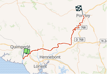
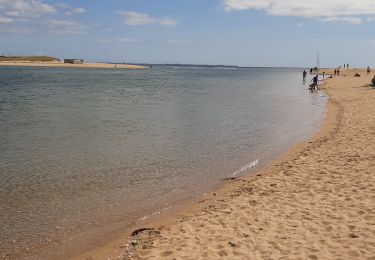
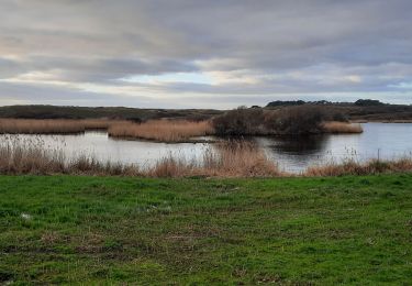
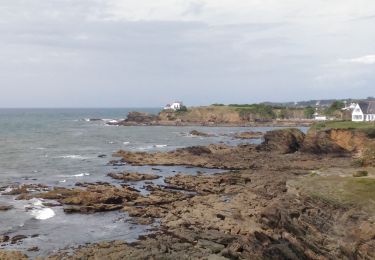
Trail Electric bike of 81 km to be discovered at Brittany, Finistère, Clohars-Carnoët. This trail is proposed by ilefebvre.
Description
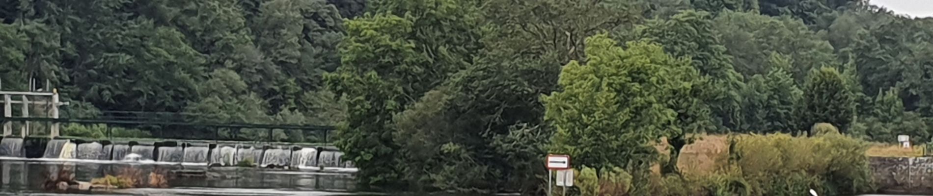
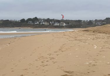
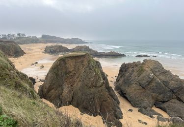
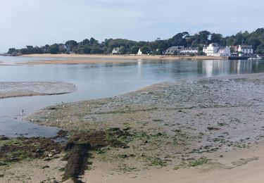
Départ de Moelan. traversée de Guidel, et route longeant le Blavet en excellent etat
Positioning
Country:
France
Region :
Brittany
Department/Province :
Finistère
Municipality :
Clohars-Carnoët
Location:
Unknown
Start:(Dec)
Start:(UTM)
460587 ; 5294248 (30T) N.
Comments
Trails nearby
PR_56_Guidel_DA_04_Circuit3a_De-Guidel-Centre-Vers-La-Laita_20240510
Walking
Easy
Guidel,
Brittany,
Morbihan,
France
4h 3min
Yes
Guidel plage 7,6 km
Walking
Easy
Guidel,
Brittany,
Morbihan,
France
7.6 km | 8.5 km-effort
2h 11min
Yes
Pouldu port peintres 6,3 km
Walking
Easy
Clohars-Carnoët,
Brittany,
Finistère,
France
6.3 km | 7.2 km-effort
2h 12min
Yes
Pouldu Roche Percée et retour 9,5 km
Walking
Medium
Clohars-Carnoët,
Brittany,
Finistère,
France
9.5 km | 10.7 km-effort
2h 46min
Yes
PR_56_Guidel_BA_02_Circuit3b_Entre-Loch-Et-Laita_20231004
Walking
Easy
Guidel,
Brittany,
Morbihan,
France
13.4 km | 15.7 km-effort
3h 34min
Yes
PR_56_Guidel_AA_01_Circuit3b_Autour-Du-Loc'h_20220120
Walking
Medium
Guidel,
Brittany,
Morbihan,
France
9.8 km | 11.2 km-effort
2h 16min
Yes
Remontée de la Laïta de Guidel au Pouldu
Walking
Easy
Clohars-Carnoët,
Brittany,
Finistère,
France
18.7 km | 22 km-effort
6h 53min
Yes