


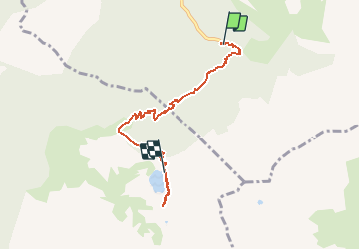


12.4 km | 21 km-effort

User


FREE GPS app for hiking
 SityTrail
IGN / Geographical institutes
SityTrail World
The world is yours!
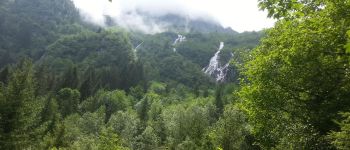
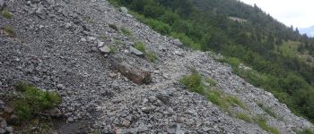
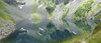
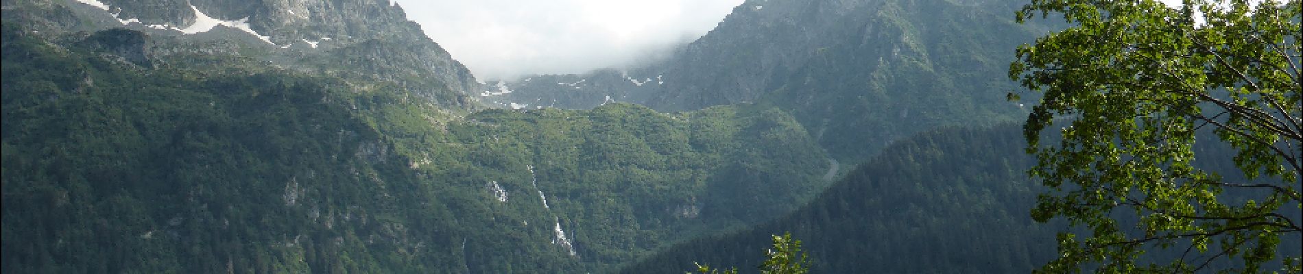
Trail Walking of 6.6 km to be discovered at Auvergne-Rhône-Alpes, Isère, Laval-en-Belledonne. This trail is proposed by Bushiben.
Faute de batterie suffisante, la trace GPS ne représente que la monté au lac.
Pensez à modifier les données temps, dénivelé et kilométrage afin d'avoir un total représentatif de la rando complète.


Walking
Touring skiing

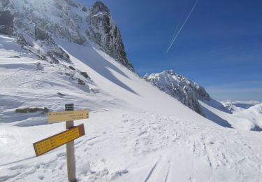
Touring skiing

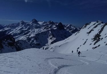
Touring skiing
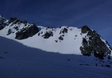
Touring skiing
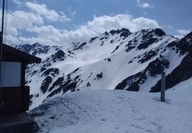
Touring skiing
Touring skiing
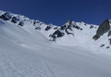
Touring skiing
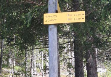
Walking