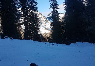
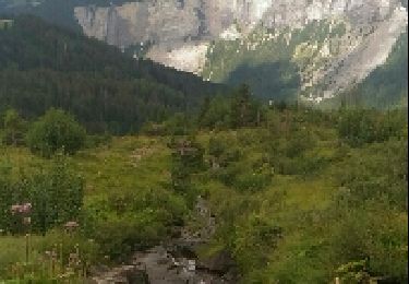
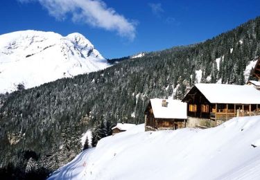
9.6 km | 17.9 km-effort
Barmes-Susanfe-la Vogealle
vgayrard
User
Length
21 km
Max alt
2521 m
Uphill gradient
1692 m
Km-Effort
42 km
Min alt
1491 m
Downhill gradient
1292 m
Boucle
No
Creation date :
2022-08-08 08:02:06.249
Updated on :
2022-08-11 08:33:01.528
32h34
Difficulty : Difficult
FREE GPS app for hiking
About
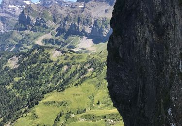
Trail Walking of 21 km to be discovered at Valais/Wallis, Monthey, Champéry. This trail is proposed by vgayrard.
Positioning
Country:
Switzerland
Region :
Valais/Wallis
Department/Province :
Monthey
Municipality :
Champéry
Location:
Unknown
Start:(Dec)
Start:(UTM)
332796 ; 5112944 (32T) N.
Comments
Trails nearby
d'Avoriaz aux Mines d'or par le col du Fornet et le col de Cou
Walking
Medium
(1)
Morzine,
Auvergne-Rhône-Alpes,
Upper Savoy,
France
3h 28min
No
Les Crosets-Sur Cou
On foot
Easy
Val-d'Illiez,
Valais/Wallis,
Monthey,
Switzerland
3.6 km | 4.8 km-effort
1h 6min
No
Champéry - Die Galérie Défago
Walking
Very easy
(1)
Champéry,
Valais/Wallis,
Monthey,
Switzerland
10.1 km | 15 km-effort
3h 38min
No
GR de Pays Tour des Dents Blanches
On foot
Very difficult
Sixt-Fer-à-Cheval,
Auvergne-Rhône-Alpes,
Upper Savoy,
France
41 km | 87 km-effort
19h 51min
Yes
Lac Vogealle depuis chalet de Boret
Walking
Very difficult
Sixt-Fer-à-Cheval,
Auvergne-Rhône-Alpes,
Upper Savoy,
France
15.7 km | 27 km-effort
5h 27min
No
Avoriaz-Zorre-Avoriaz-10km-2h30
Snowshoes
Medium
Morzine,
Auvergne-Rhône-Alpes,
Upper Savoy,
France
9.3 km | 12.7 km-effort
2h 33min
Yes
Boucle Lac de Montrillon depuis Avoriaz
Walking
Difficult
Morzine,
Auvergne-Rhône-Alpes,
Upper Savoy,
France
20 km | 33 km-effort
5h 36min
Yes
20170809 Morzine
Walking
Medium
Morzine,
Auvergne-Rhône-Alpes,
Upper Savoy,
France
10.5 km | 16.5 km-effort
3h 9min
No
Le village des Lindarets en raquettes
Snowshoes
Medium
Morzine,
Auvergne-Rhône-Alpes,
Upper Savoy,
France
5.9 km | 7.2 km-effort
2h 0min
No