


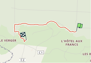

9.3 km | 11.8 km-effort


User


FREE GPS app for hiking
 SityTrail
IGN / Geographical institutes
SityTrail World
The world is yours!
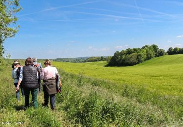
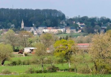
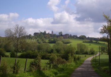
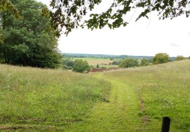
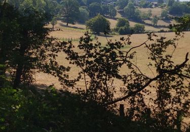
Trail Walking of 2.4 km to be discovered at Normandy, Orne, Belforêt-en-Perche. This trail is proposed by Krissray.
maison fourneaux bout jusqu'à montée retour sans raccourci par chemin chêne de l'école
Walking
Walking
Walking

Walking
Walking
Walking
Walking
Walking
Walking