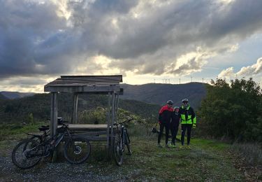
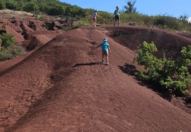
10.7 km | 14.8 km-effort
la Loubiere
mjl12740
User
Length
5.7 km
Max alt
775 m
Uphill gradient
156 m
Km-Effort
7.8 km
Min alt
697 m
Downhill gradient
155 m
Boucle
Yes
Creation date :
2022-08-09 06:59:02.872
Updated on :
2022-08-09 09:05:33.358
2h05
Difficulty : Medium
FREE GPS app for hiking
About
Trail Walking of 5.7 km to be discovered at Occitania, Aveyron, Saint-Félix-de-Sorgues. This trail is proposed by mjl12740.
Positioning
Country:
France
Region :
Occitania
Department/Province :
Aveyron
Municipality :
Saint-Félix-de-Sorgues
Location:
Unknown
Start:(Dec)
Start:(UTM)
496818 ; 4856647 (31T) N.
Comments
Trails nearby
Le mazet trounas montagneol le mazet
Walking
Medium
Montagnol,
Occitania,
Aveyron,
France
8.2 km | 11.3 km-effort
2h 0min
Yes
Versols 2024- 11 10
Walking
Very difficult
Versols-et-Lapeyre,
Occitania,
Aveyron,
France
22 km | 31 km-effort
7h 5min
Yes
sylvanes fayet
Mountain bike
Difficult
Sylvanès,
Occitania,
Aveyron,
France
28 km | 39 km-effort
2h 16min
Yes
les Canyons du Rougier
Walking
Medium
Gissac,
Occitania,
Aveyron,
France
9.7 km | 13.1 km-effort
2h 45min
Yes
st felix montagnol aventure
Walking
Difficult
Saint-Félix-de-Sorgues,
Occitania,
Aveyron,
France
27 km | 37 km-effort
7h 49min
Yes