


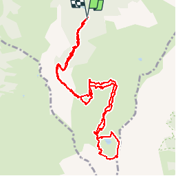

9.1 km | 24 km-effort

User


FREE GPS app for hiking
 SityTrail
IGN / Geographical institutes
SityTrail World
The world is yours!
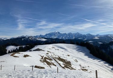
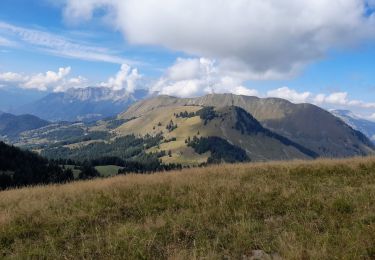
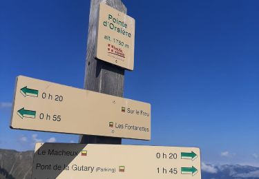
Trail Walking of 14.5 km to be discovered at Auvergne-Rhône-Alpes, Upper Savoy, Manigod. This trail is proposed by myjackotte.
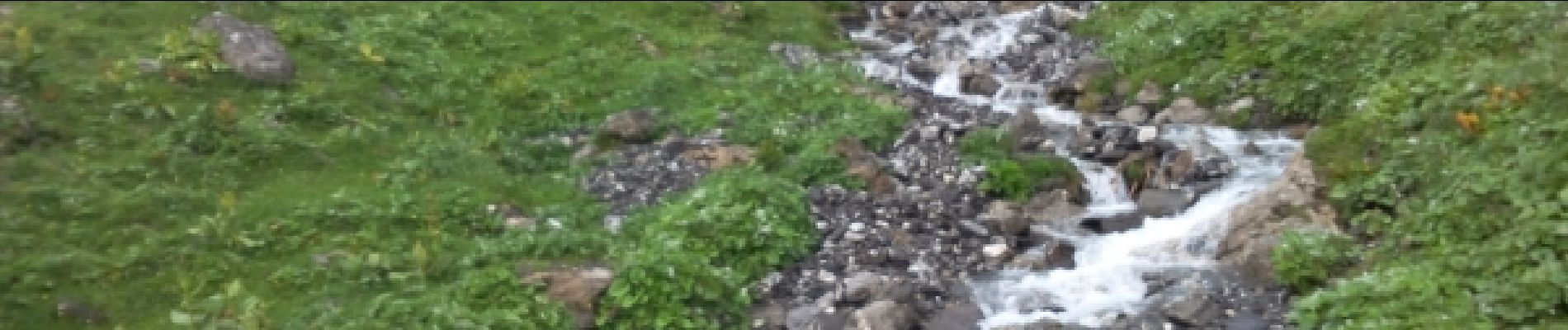
après un début dans les bois nous poursuivons à travers les alpages ou nous croisons vaches chèvres et moutons.
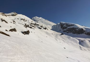
malheureusement ce sera sous la pluie pour une partie du chemin et très froid autour du lac


Touring skiing

Walking

Snowshoes

Walking

Motor
Walking
Snowshoes
Walking
Walking