


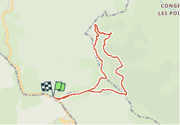

13.6 km | 18.2 km-effort

User


FREE GPS app for hiking
 SityTrail
IGN / Geographical institutes
SityTrail World
The world is yours!
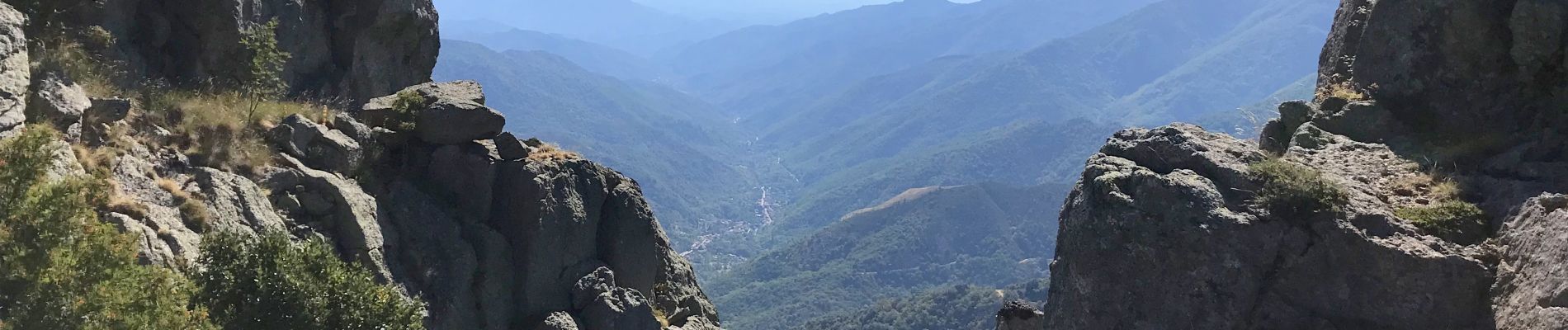
Trail Walking of 9.3 km to be discovered at Auvergne-Rhône-Alpes, Ardèche, Borne. This trail is proposed by coureursdecretes.
Rando du 8/8/2022
ATTENTION ATTENTION ATTENTION ATTENTION
Aucun sentier entre repère1 et repère2 totalement hors piste, très pentu par endroit. Ne pas s'aventurer sans condition physique adaptée.


Walking

Walking

On foot

Walking
Walking
Walking
On foot
Walking
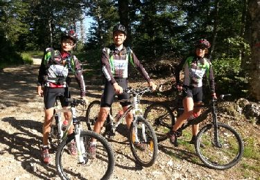
Mountain bike