


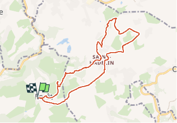

11.6 km | 16.5 km-effort

User


FREE GPS app for hiking
 SityTrail
IGN / Geographical institutes
SityTrail World
The world is yours!
Trail Walking of 9.1 km to be discovered at Wallonia, Liège, Trooz. This trail is proposed by Carine Grandjean.
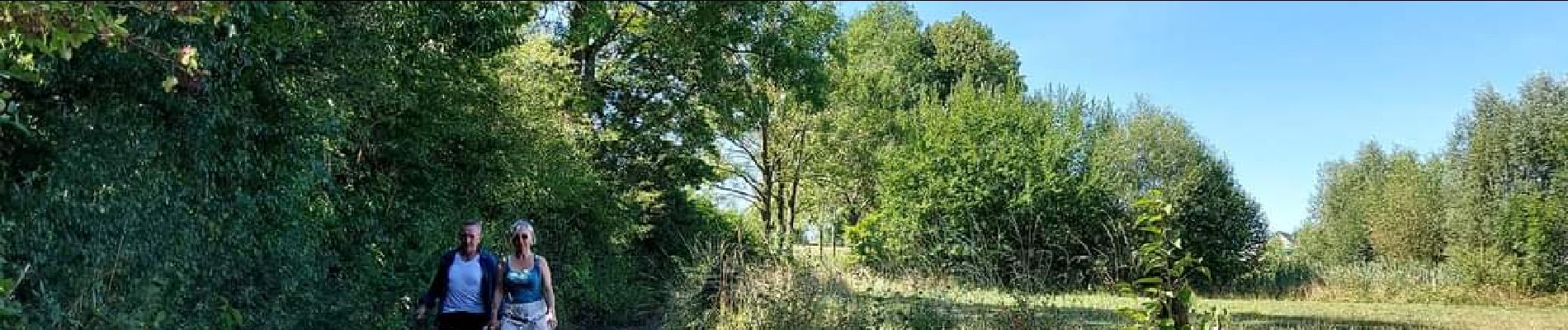
Très jolie ballade au départ de la ferme des loups à Forêt (Trooz).
Alternance de chemin boisé et de champs . Paysage très vallonné typique du plateau de Herve.


Walking

Walking

Walking

Walking

Walking

Walking

Walking

Walking

Walking