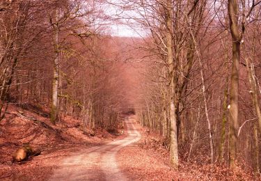
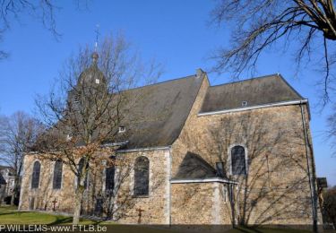
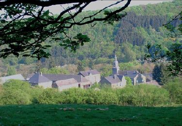
Trail Mountain bike Saint-Hubert - Fourneau St-Michel - La Masblette (VTT SH03) - Photo

Fourneau St-Michel - La Masblette (VTT SH03)

Randonnées de la Grande Forêt de Saint-Hubert GUIDE+

© OpenStreetMap contributors
Length
Length
13.6 km
Max alt
Max alt
545 m
Uphill gradient
Uphill gradient
295 m
Km-Effort
Km-Effort  
17.6 km
Min alt
Min alt
300 m
Downhill gradient
Downhill gradient
295 m
Boucle
Boucle
Yes
Creation date :
2018-01-08 00:00:00.0
Updated on :
2018-01-08 00:00:00.0

(0 Reviews)

Mountain bike
Mountain bike
1h08
Difficulty : Easy

Scan this QR Code to open this trail in the SityTrail application

FREE GPS app for hiking

Logo SityTrail SityTrail

IGN / Geographical institutes

Download SityTrail from the App Store Download SityTrail from Google Play

Logo SityTrail SityTrail World

The world is yours!

Download SityTrail from the App Store Download SityTrail from Google Play Download SityTrail on Huawei AppGallery

About

Trail Mountain bike of 13.6 km to be discovered at Wallonia, Luxembourg, Saint-Hubert. This trail is proposed by La Grande Forêt de Saint-Hubert.

Description

Extrait de la carte de promenade « Au Pays de Saint-Hubert » (30 balades pédestres, 6 circuits VTT – carte topographique 1/25.000) disponible au Royal Syndicat d’Initiative de Saint-Hubert au prix de 8€.

Royal Syndicat d’Initiative de Saint-Hubert
Place du Marché, n°15
B-6870 SAINT-HUBERT
Tél.:  32 (0)61 61 30 10
Fax:  32 (0)61 61 54 44
rsi@saint-hubert-tourisme.be
www.rsi-sainthubert.be
facebook.com/rsisainthubert

Elevation profile

Positioning

Country:
Belgium
Region :
Wallonia
Department/Province :
Luxembourg
Municipality :
Saint-Hubert
Location:
Awenne
Start:(UTM)
667435 ; 5550641 (31U) N.

Trails nearby

Trail Walking Saint-Hubert - Saint-Hubert - Les Abanages (SH03) - Photo
Walking
GUIDE+

Walking

Difficult
(13)
Saint-Hubert, Wallonia, Luxembourg, Belgium
9.8 km | 13.1 km-effort
2h 49min
Yes
Trail Walking Tellin - GG-Lu-13_Grupont - Poix-Saint-Hubert - Photo
Walking
PRO

Walking

Very difficult
(3)
Tellin, Wallonia, Luxembourg, Belgium
26 km | 34 km-effort
7h 23min
No
Trail Walking Tellin - Balade à Grupont - Photo
Walking
GUIDE
Desrumaux

Walking

Easy
(1)
Tellin, Wallonia, Luxembourg, Belgium
8.4 km | 11.9 km-effort
2h 33min
Yes
Trail Walking Tellin - Grupont - Promenade du Bois du Machi (EN) - Photo
Walking
GUIDE+

Walking

Medium
(1)
Tellin, Wallonia, Luxembourg, Belgium
8.6 km | 12.6 km-effort
2h 37min
Yes
Trail Mountain bike Nassogne - Nassogne - Circuit VTT rouge 4 - Photo
Mountain bike
GUIDE+

Mountain bike

Difficult
(1)
Nassogne, Wallonia, Luxembourg, Belgium
26 km | 36 km-effort
2h 16min
Yes
Trail Walking Saint-Hubert - Saint-Hubert - Circuit Natura 2000, des sites qui valent le détour - Lx16 - Photo
Walking
GUIDE+

Walking

Medium
(3)
Saint-Hubert, Wallonia, Luxembourg, Belgium
9.8 km | 13 km-effort
1h 11min
Yes
Trail Walking Nassogne - RB-LUX-07- Raccourci - En musardant entre Lhomme et Masblette, entre ri de Warlet et ruisseau de l’Hinson - Photo
Walking
PRO

Walking

Medium
(4)
Nassogne, Wallonia, Luxembourg, Belgium
20 km | 29 km-effort
6h 0min
Yes
Trail Cycle Nassogne - Massif de Nassogne - Photo
Cycle
GUIDE+

Cycle

Medium
(3)
Nassogne, Wallonia, Luxembourg, Belgium
14.2 km | 19 km-effort
1h 4min
Yes
Trail Cycle Nassogne - Massif de Nassogne : variante 1 - Photo
Cycle
GUIDE+

Cycle

Medium
(1)
Nassogne, Wallonia, Luxembourg, Belgium
6.4 km | 8.1 km-effort
27min
Yes


Close
My subscriptions