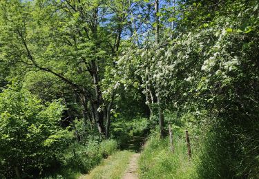
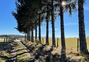
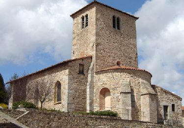
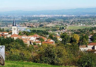
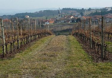
Trail Walking Unknown - MOULINS CHERIER   Pour le  mercredi 28 septembre2022 - Photo

MOULINS CHERIER Pour le mercredi 28 septembre2022

 nono42
nono42

User

© OpenStreetMap contributors
Length
Length
21 km
Max alt
Max alt
1141 m
Uphill gradient
Uphill gradient
636 m
Km-Effort
Km-Effort  
29 km
Min alt
Min alt
652 m
Downhill gradient
Downhill gradient
629 m
Boucle
Boucle
Yes
Creation date :
2022-08-06 16:16:58.826
Updated on :
2022-08-06 16:26:43.386

(0 Reviews)

Walking
Walking
6h41
Difficulty : Very difficult

Scan this QR Code to open this trail in the SityTrail application

FREE GPS app for hiking

Logo SityTrail SityTrail

IGN / Geographical institutes

Download SityTrail from the App Store Download SityTrail from Google Play

Logo SityTrail SityTrail World

The world is yours!

Download SityTrail from the App Store Download SityTrail from Google Play Download SityTrail on Huawei AppGallery

About

Trail Walking of 21 km to be discovered at Auvergne-Rhône-Alpes, Loire. This trail is proposed by nono42.

Elevation profile

Positioning

Country:
France
Region :
Auvergne-Rhône-Alpes
Department/Province :
Loire
Municipality :
Unknown
Location:
Unknown
Start:(UTM)
570493 ; 5090547 (31T) N.

Trails nearby

Trail sport Saint-Jean-Saint-Maurice-sur-Loire - Retour bis - Photo
sport
ophness

sport

Very easy
(1)
Saint-Jean-Saint-Maurice-sur-Loire, Auvergne-Rhône-Alpes, Loire, France
12.6 km | 16.2 km-effort
Unknown
No
Trail Walking Cherier - rocher de rochefort depuis la croix Trévingt - Photo
Walking
famillerudent

Walking

Easy
Cherier, Auvergne-Rhône-Alpes, Loire, France
9.3 km | 13.4 km-effort
3h 10min
Yes
Trail Walking  - Randonnée sur les plateaux au dessus du village de Moulins -Chérier - Photo
Walking
dudu42

Walking

Medium
, Auvergne-Rhône-Alpes, Loire, France
17.7 km | 25 km-effort
4h 18min
Yes
Trail Walking Cherier - rando à Moulin Charier - Photo
Walking
mimi69670

Walking

Medium
Cherier, Auvergne-Rhône-Alpes, Loire, France
13.3 km | 18.6 km-effort
3h 29min
No
Trail Walking Villemontais - Villemontais : Chérier et Haut Ste-Agathe - Photo
Walking
Jgar

Walking

Difficult
Villemontais, Auvergne-Rhône-Alpes, Loire, France
15.1 km | 23 km-effort
4h 22min
Yes
Trail Walking Cherier - Les Moulins Chérier : entre Les Faux et Montloup - Photo
Walking
Jgar

Walking

Medium
Cherier, Auvergne-Rhône-Alpes, Loire, France
8.5 km | 10.9 km-effort
2h 30min
Yes
Trail On foot Cherier - Les Moulins Chérier - boucles autour du vieux bourg - Photo
On foot
Jgar

On foot

Easy
Cherier, Auvergne-Rhône-Alpes, Loire, France
8.6 km | 12.5 km-effort
2h 50min
Yes
Trail Mountain bike Villemontais - VTT Sportif au Pays d'Urfé (avec Pat et Manu) - Villemontais - Photo
Mountain bike
tracegps

Mountain bike

Very difficult
Villemontais, Auvergne-Rhône-Alpes, Loire, France
51 km | 69 km-effort
4h 40min
Yes
Trail Running Villemontais - Balade de Villemontais à Notre Dame de la Salette - Photo
Running
tracegps

Running

Difficult
Villemontais, Auvergne-Rhône-Alpes, Loire, France
12.3 km | 19.4 km-effort
1h 30min
Yes


Close
My subscriptions