


26 km | 34 km-effort
Randonnées de la Grande Forêt de Saint-Hubert GUIDE+


FREE GPS app for hiking
 SityTrail
IGN / Geographical institutes
SityTrail World
The world is yours!
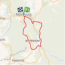
Trail Walking of 9.9 km to be discovered at Wallonia, Luxembourg, Nassogne. This trail is proposed by La Grande Forêt de Saint-Hubert.
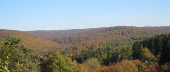
Superbes points de vue sur le massif forestier ainsi que sur les villages de Mormont et Masbourg. Ce circuit vous permet d'établir une liaison avec le 'Fourneau Saint-Michel'.
Extrait de la carte des promenades de l'entité de Nassogne (23 promenades balisées - carte topographique 1/25.000 - 7,00 €) disponible à l'Office Communal du Tourisme de l'entité de Nassogne ou à la Maison du Tourisme du Pays de Marche & Nassogne.
Concepteur: Office Communal du Tourisme de l'entité de Nassogne - Rue de Lahaut, 3 - 6950 Nassogne - 32(0)84/22.15.58 - office.tourisme@nassogne.be.
 - Photo 1")
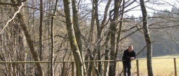
 - Photo 2")
 - Photo 3")
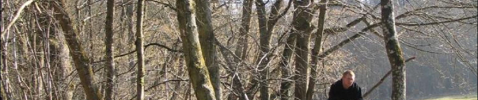
 - Photo 4")
 - Photo 5")
 - Photo 6")
 - Photo 7")

Walking

Walking

Walking

Walking

Walking

Mountain bike

Walking

Walking

Walking