


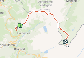

18.1 km | 28 km-effort


User


FREE GPS app for hiking
 SityTrail
IGN / Geographical institutes
SityTrail World
The world is yours!
Trail Walking of 25 km to be discovered at Auvergne-Rhône-Alpes, Savoy, Hauteluce. This trail is proposed by MathieuBourgois.
Refuge Croix de Pierre 7km et 400D
Col du Joly 14km et 700D
Refuge de la Croix du Bonhomme 25km et 1580D

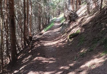
Walking

Cycle

Walking

Touring skiing

Mountain bike

Walking

Walking
Mountain bike

Walking