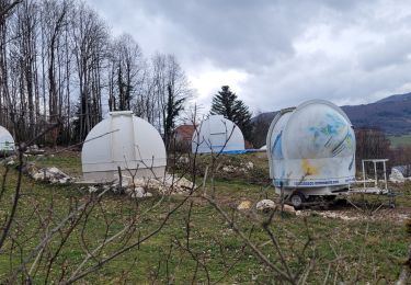
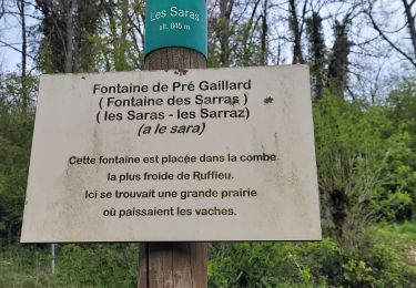
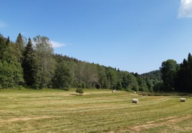
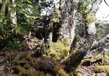
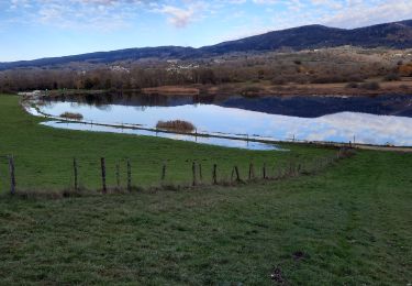
Trail Horseback riding Ruffieu - CHA - J9 - 18/09 - Ruffieu > Ferme du Retord V2 - Photo

CHA - J9 - 18/09 - Ruffieu > Ferme du Retord V2

 aeldin
aeldin

User

© OpenStreetMap contributors
Length
Length
28 km
Max alt
Max alt
1351 m
Uphill gradient
Uphill gradient
1154 m
Km-Effort
Km-Effort  
42 km
Min alt
Min alt
630 m
Downhill gradient
Downhill gradient
600 m
Boucle
Boucle
No
Creation date :
2022-08-05 06:31:41.813
Updated on :
2022-08-05 06:35:37.103

(0 Reviews)

Horseback riding
Horseback riding
4h37
Difficulty : Difficult

Scan this QR Code to open this trail in the SityTrail application

FREE GPS app for hiking

Logo SityTrail SityTrail

IGN / Geographical institutes

Download SityTrail from the App Store Download SityTrail from Google Play

Logo SityTrail SityTrail World

The world is yours!

Download SityTrail from the App Store Download SityTrail from Google Play Download SityTrail on Huawei AppGallery

About

Trail Horseback riding of 28 km to be discovered at Auvergne-Rhône-Alpes, Ain, Ruffieu. This trail is proposed by aeldin.

Elevation profile

Points of interest

Point of interest Billiat - Ferme du Retord - Photo
aeldin
Point of interest Ruffieu - La Tribu d'Eponel - Photo
aeldin

Positioning

Country:
France
Region :
Auvergne-Rhône-Alpes
Department/Province :
Ain
Municipality :
Ruffieu
Location:
Unknown
Start:(UTM)
706115 ; 5096507 (31T) N.

Trails nearby

Trail Walking Plateau d'Hauteville - 01 Hautville Belvédère Planachat - Photo
Walking
ericf64

Walking

Difficult
(1)
Plateau d'Hauteville, Auvergne-Rhône-Alpes, Ain, France
10.8 km | 17.1 km-effort
3h 53min
Yes
Trail Walking Haut Valromey - ruffieu rando des bacs quinzaine - Photo
Walking
loca.yves

Walking

Medium
Haut Valromey, Auvergne-Rhône-Alpes, Ain, France
12.4 km | 17.7 km-effort
3h 55min
Yes
Trail Walking Valromey-sur-Séran - lompnieu - Photo
Walking
colomb24

Walking

Easy
Valromey-sur-Séran, Auvergne-Rhône-Alpes, Ain, France
14.1 km | 19.3 km-effort
4h 58min
Yes
Trail Walking Haut Valromey - ruffieu - Photo
Walking
loca.yves

Walking

Difficult
Haut Valromey, Auvergne-Rhône-Alpes, Ain, France
12.2 km | 17.5 km-effort
3h 58min
Yes
Trail Walking Plateau d'Hauteville - Chemin de crête de Valorse - Photo
Walking
runarlejou

Walking

Medium
Plateau d'Hauteville, Auvergne-Rhône-Alpes, Ain, France
4.7 km | 6.2 km-effort
1h 41min
Yes
Trail Walking Plateau d'Hauteville - Chemin des Crêtes La Praille - Photo
Walking
runarlejou

Walking

Medium
Plateau d'Hauteville, Auvergne-Rhône-Alpes, Ain, France
5.6 km | 7.8 km-effort
2h 1min
Yes
Trail Horseback riding Haut Valromey - rallonge 4,5km sur boucles retord WE 23 et 24 sept 2023 - Photo
Horseback riding
oboj

Horseback riding

Easy
Haut Valromey, Auvergne-Rhône-Alpes, Ain, France
4.3 km | 5.8 km-effort
46min
No
Trail Horseback riding Haut Valromey - rallonge 4,5km sur boucles retord WE 23 et 24 sept 2023 - Photo
Horseback riding
oboj

Horseback riding

Easy
Haut Valromey, Auvergne-Rhône-Alpes, Ain, France
4.3 km | 5.8 km-effort
46min
No
Trail Walking Plateau d'Hauteville - tour des LÉSINES - Photo
Walking
Jacky Fumey

Walking

Easy
Plateau d'Hauteville, Auvergne-Rhône-Alpes, Ain, France
5.1 km | 6.4 km-effort
1h 57min
Yes


Close
My subscriptions