


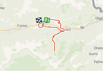

16 km | 28 km-effort


User


FREE GPS app for hiking
 SityTrail
IGN / Geographical institutes
SityTrail World
The world is yours!
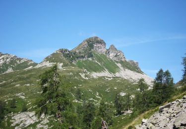
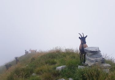
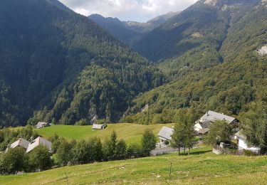
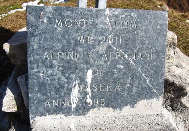
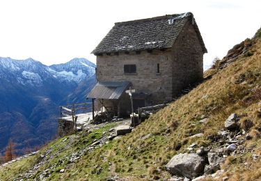
Trail Electric bike of 28 km to be discovered at Piemont, Verbano-Cusio-Ossola, Santa Maria Maggiore. This trail is proposed by ppbelleville.
On foot
On foot
On foot
On foot
On foot
On foot
On foot
On foot
On foot