


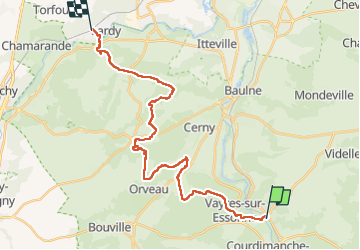

23 km | 26 km-effort


User GUIDE


FREE GPS app for hiking
 SityTrail
IGN / Geographical institutes
SityTrail World
The world is yours!
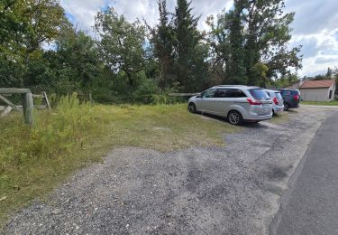
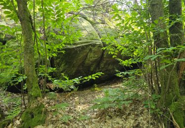
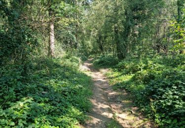
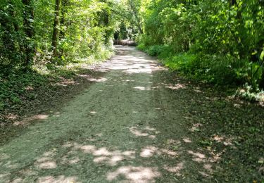
Trail Walking of 26 km to be discovered at Ile-de-France, Essonne, Boutigny-sur-Essonne. This trail is proposed by chessyca.
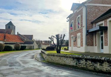
étape rendue difficile par la canicule ambiante .
Le gâtinais français par plus de 35 degré !


Walking
Walking

Walking
On foot
Walking
Walking
Walking
Walking

Walking