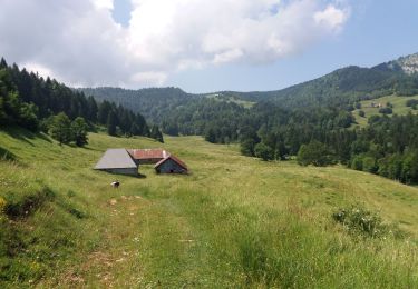
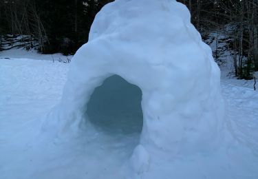
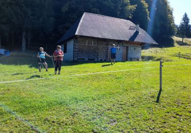
Trail On foot Montcel - Croix des Bergers-Crolles - Photo

Croix des Bergers-Crolles

Une équipe à votre service garant de convivialité et bonne humeur

© OpenStreetMap contributors
Length
Length
6.5 km
Max alt
Max alt
1387 m
Uphill gradient
Uphill gradient
130 m
Km-Effort
Km-Effort  
8.3 km
Min alt
Min alt
1337 m
Downhill gradient
Downhill gradient
130 m
Boucle
Boucle
Yes
Creation date :
2022-08-03 12:43:34.482
Updated on :
2022-08-03 12:43:34.482

(0 Reviews)

On foot
On foot
1h52
Difficulty : Easy

Scan this QR Code to open this trail in the SityTrail application

FREE GPS app for hiking

Logo SityTrail SityTrail

IGN / Geographical institutes

Download SityTrail from the App Store Download SityTrail from Google Play

Logo SityTrail SityTrail World

The world is yours!

Download SityTrail from the App Store Download SityTrail from Google Play Download SityTrail on Huawei AppGallery

About

Trail On foot of 6.5 km to be discovered at Auvergne-Rhône-Alpes, Savoy, Montcel. This trail is proposed by mini balades Adapar.

Elevation profile

Points of interest

Point of interest Montcel - Parking au bord de la D913 - Photo
jljacquin
Point of interest Saint-François-de-Sales -  Croix des Bergers - Photo
jljacquin
SAINT-FRANÇOIS-DE-SALES 
Point of interest Saint-François-de-Sales - Chemin à gauche - Photo
jljacquin
SAINT-FRANÇOIS-DE-SALES 
Point of interest Saint-François-de-Sales -  bifurcation de Gralette - Photo
jljacquin
SAINT-FRANÇOIS-DE-SALES 
Point of interest Saint-Offenge - Carrefour - Photo
jljacquin
SAINT-OFFENGE 
Point of interest Montcel - Parking au bord de la D913 - Photo
jljacquin

Positioning

Country:
France
Region :
Auvergne-Rhône-Alpes
Department/Province :
Savoy
Municipality :
Montcel
Location:
Unknown
Start:(UTM)
266404 ; 5063120 (32T) N.

Trails nearby

Trail Walking Montcel - BAUGES: TOUR DE LA FORET DOMANIALE DU GRAND REVARD - Photo
Walking
djeepee74

Walking

Difficult
(1)
Montcel, Auvergne-Rhône-Alpes, Savoy, France
16.6 km | 24 km-effort
5h 15min
Yes
Trail Walking Les Déserts - golet de l'agneau - Photo
Walking
druilhe

Walking

Medium
(1)
Les Déserts, Auvergne-Rhône-Alpes, Savoy, France
3.9 km | 10.2 km-effort
1h 44min
No
Trail Walking Montcel - BAUGES: PETIT TOUR DE LA FORET DOMANIALE DU REVARD - Photo
Walking
djeepee74

Walking

Medium
(1)
Montcel, Auvergne-Rhône-Alpes, Savoy, France
12.4 km | 17.2 km-effort
3h 30min
Yes
Trail Walking Mouxy - Sentier du Perthuiset  - Photo
Walking
Jcogan

Walking

Medium
(1)
Mouxy, Auvergne-Rhône-Alpes, Savoy, France
9.4 km | 19.9 km-effort
3h 19min
Yes
Trail Walking Les Déserts - Revard : La Féclaz - Photo
Walking
Celine1217

Walking

Easy
(1)
Les Déserts, Auvergne-Rhône-Alpes, Savoy, France
8.8 km | 10.6 km-effort
2h 22min
Yes
Trail Walking Montcel - La Croix du Berger - Photo
Walking
Levillefranchois

Walking

Medium
Montcel, Auvergne-Rhône-Alpes, Savoy, France
8.8 km | 11.7 km-effort
2h 39min
Yes
Trail Snowshoes Montcel - Le revard la croix des bergers  - Photo
Snowshoes
GUIDE
antignacs

Snowshoes

Very easy
Montcel, Auvergne-Rhône-Alpes, Savoy, France
6.3 km | 7.9 km-effort
2h 38min
Yes
Trail Walking Montcel - MASSIF DES BAUGES: PLATEAU DU REVARD AUTOUR DE LA CROIX DES BERGERS (bis) - Photo
Walking
djeepee74

Walking

Medium
Montcel, Auvergne-Rhône-Alpes, Savoy, France
12.5 km | 17.9 km-effort
4h 3min
Yes
Trail Walking Les Déserts - la croix du Nivollet  - Photo
Walking
Zasa

Walking

Easy
Les Déserts, Auvergne-Rhône-Alpes, Savoy, France
12.6 km | 18.6 km-effort
3h 3min
Yes


Close
My subscriptions