


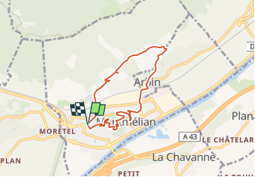


9.5 km | 21 km-effort

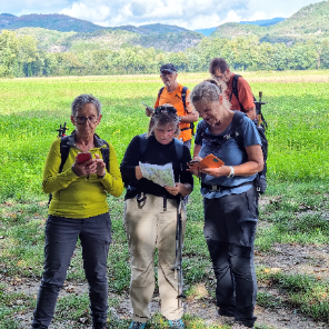
Une équipe à votre service garant de convivialité et bonne humeur


FREE GPS app for hiking
 SityTrail
IGN / Geographical institutes
SityTrail World
The world is yours!
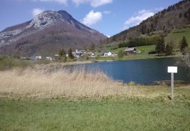
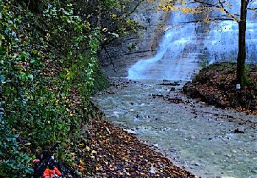
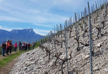
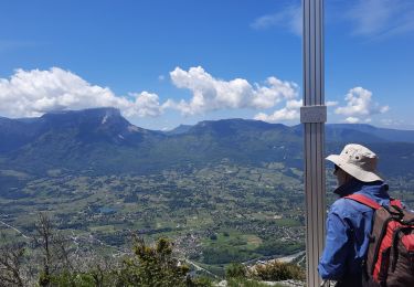
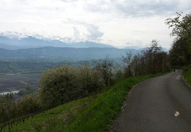
Trail On foot of 6.8 km to be discovered at Auvergne-Rhône-Alpes, Savoy, Montmélian. This trail is proposed by mini balades Adapar.
Walking
Walking
Walking

Walking
Mountain bike
Nordic walking
Walking
Mountain bike

Snowshoes