


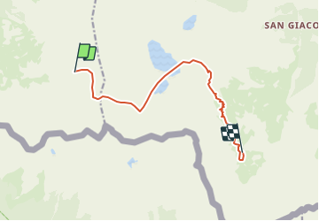

13.1 km | 23 km-effort


User


FREE GPS app for hiking
 SityTrail
IGN / Geographical institutes
SityTrail World
The world is yours!
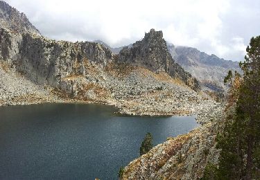
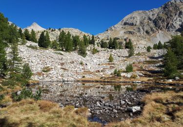
Trail Running of 10.9 km to be discovered at Piemont, Cuneo, Valdieri. This trail is proposed by pradines001.
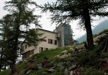
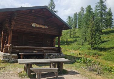
Par le refuge de Genova Figari

Walking
On foot
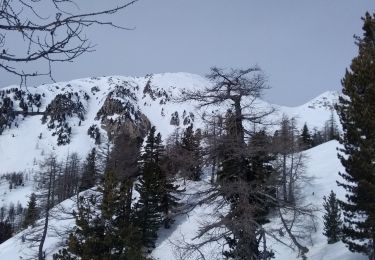
Touring skiing

Walking
Walking
Walking
Walking
Walking
Snowshoes