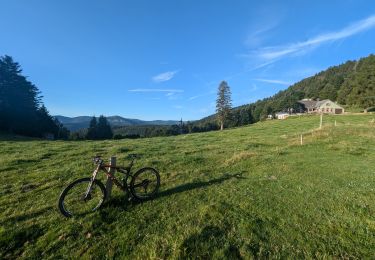
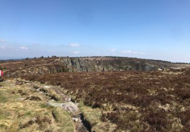
14.4 km | 22 km-effort
Saegmatt - Stosswihr (autour de)
ionutdragan
User
Length
11 km
Max alt
962 m
Uphill gradient
509 m
Km-Effort
17.8 km
Min alt
570 m
Downhill gradient
511 m
Boucle
Yes
Creation date :
2022-08-01 09:02:08.463
Updated on :
2022-08-01 14:26:02.402
3h41
Difficulty : Easy
FREE GPS app for hiking
About
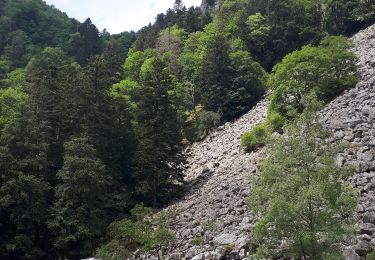
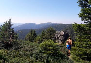
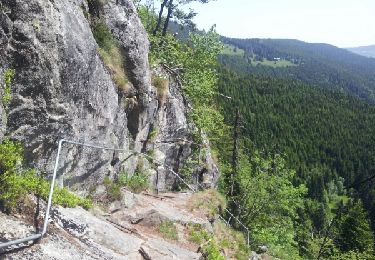
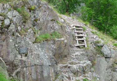
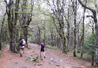
Trail Walking of 11 km to be discovered at Grand Est, Haut-Rhin, Stosswihr. This trail is proposed by ionutdragan.
Positioning
Country:
France
Region :
Grand Est
Department/Province :
Haut-Rhin
Municipality :
Stosswihr
Location:
Unknown
Start:(Dec)
Start:(UTM)
355082 ; 5324127 (32U) N.
Comments
Trails nearby
Les Rochers des Hirschsteine - Lac Vert
Walking
Difficult
(2)
Le Valtin,
Grand Est,
Vosges,
France
5h 2min
Yes
Le Sentier des Roches
Walking
Difficult
(2)
Le Valtin,
Grand Est,
Vosges,
France
20 km | 34 km-effort
7h 43min
Yes
Tour du belvedere avec le passage sur les crêtes
Walking
Very easy
(3)
Stosswihr,
Grand Est,
Haut-Rhin,
France
8.5 km | 0 m-effort
2h 28min
Yes
Totom 4 lacs
Other activity
Medium
(1)
Soultzeren,
Grand Est,
Haut-Rhin,
France
15.6 km | 26 km-effort
4h 37min
Yes
Les Hirschsteine
Walking
Difficult
(1)
Le Valtin,
Grand Est,
Vosges,
France
16.1 km | 25 km-effort
6h 28min
Yes
Du Hohneck au Kastelberg par les Spietzkoepfe et le Sentier des Névées
Walking
Very difficult
(3)
La Bresse,
Grand Est,
Vosges,
France
7.6 km | 13.7 km-effort
3h 30min
Yes
Tour du Gaschney par le Sattel
Mountain bike
Difficult
(1)
Metzeral,
Grand Est,
Haut-Rhin,
France
25 km | 37 km-effort
2h 32min
Yes
Tanet-Gazon du faing par lac vert et retour sommet du Tanet
Walking
Medium
(1)
Soultzeren,
Grand Est,
Haut-Rhin,
France
10 km | 15.6 km-effort
4h 24min
Yes
raquettes
Snowshoes
Very easy
(1)
Le Valtin,
Grand Est,
Vosges,
France
6.6 km | 9.4 km-effort
3h 8min
No