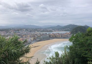
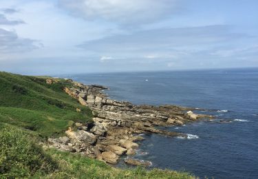
10.1 km | 17.1 km-effort
Cap st anne
cedric.fargues
User
Length
4.7 km
Max alt
61 m
Uphill gradient
93 m
Km-Effort
5.9 km
Min alt
16 m
Downhill gradient
93 m
Boucle
Yes
Creation date :
2022-07-31 08:56:49.0
Updated on :
2022-07-31 10:32:37.162
1h35
Difficulty : Easy
FREE GPS app for hiking
About
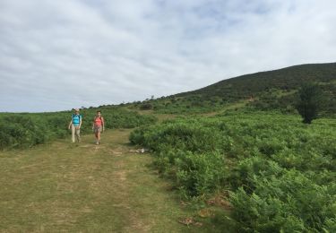
Trail Walking of 4.7 km to be discovered at New Aquitaine, Pyrénées-Atlantiques, Hendaye. This trail is proposed by cedric.fargues.
Positioning
Country:
France
Region :
New Aquitaine
Department/Province :
Pyrénées-Atlantiques
Municipality :
Hendaye
Location:
Unknown
Start:(Dec)
Start:(UTM)
601784 ; 4803453 (30T) N.
Comments
Trails nearby
Biriatou et lac Poiriers
Walking
Medium
(1)
Biriatou,
New Aquitaine,
Pyrénées-Atlantiques,
France
3h 45min
Yes
roro
Walking
Very easy
(1)
Hondarribia/Fontarrabie,
Autonomous Community of the Basque Country,
Gipuzkoa,
Spain
21 km | 31 km-effort
9h 10min
No
la rhune
Mountain bike
Very difficult
(2)
Urrugne,
New Aquitaine,
Pyrénées-Atlantiques,
France
32 km | 45 km-effort
3h 42min
Yes
Fondarrabie sentier côtier bis
Walking
Easy
Hondarribia/Fontarrabie,
Autonomous Community of the Basque Country,
Gipuzkoa,
Spain
13.1 km | 18 km-effort
3h 56min
Yes
SOCOA HENDAYE par sentier du littoral
Walking
Easy
Urrugne,
New Aquitaine,
Pyrénées-Atlantiques,
France
17 km | 22 km-effort
4h 24min
Yes
Hendaye Saint Sébastien GR121 Sentier du littoral
Walking
Easy
Hendaye,
New Aquitaine,
Pyrénées-Atlantiques,
France
54 km | 71 km-effort
5h 54min
Yes
Hondarribia Jaizkibel littoral
Walking
Medium
Hondarribia/Fontarrabie,
Autonomous Community of the Basque Country,
Gipuzkoa,
Spain
14.3 km | 19.5 km-effort
4h 17min
Yes
Hendaye
Walking
Easy
(1)
Hendaye,
New Aquitaine,
Pyrénées-Atlantiques,
France
8.4 km | 10.1 km-effort
2h 16min
Yes
TDP N°1 HENDAYE OLHETTE
Other activity
Very easy
Hendaye,
New Aquitaine,
Pyrénées-Atlantiques,
France
24 km | 38 km-effort
7h 15min
No