Trail Walking Tarbes - Le Chemin Vert - Photo
 chasle
chasle

User

© OpenStreetMap contributors
Length
Length
17.2 km
Max alt
Max alt
443 m
Uphill gradient
Uphill gradient
253 m
Km-Effort
Km-Effort  
20 km
Min alt
Min alt
308 m
Downhill gradient
Downhill gradient
141 m
Boucle
Boucle
No
Creation date :
2022-07-31 07:24:15.655
Updated on :
2022-07-31 07:25:49.646

(0 Reviews)

Walking
Walking
4h35
Difficulty : Easy

Scan this QR Code to open this trail in the SityTrail application

FREE GPS app for hiking

Logo SityTrail SityTrail

IGN / Geographical institutes

Download SityTrail from the App Store Download SityTrail from Google Play

Logo SityTrail SityTrail World

The world is yours!

Download SityTrail from the App Store Download SityTrail from Google Play Download SityTrail on Huawei AppGallery

About

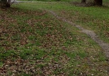
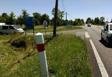
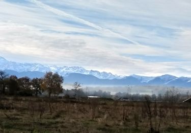
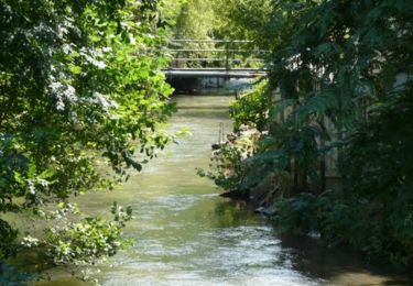
Trail Walking of 17.2 km to be discovered at Occitania, Hautespyrenees, Tarbes. This trail is proposed by chasle.

Description

Tarbes-Lourdes 18,5KM 4h40

Elevation profile

Points of interest

Point of interest Lourdes - Panneaux d'accueil - Photo
chasle
Point of interest Lourdes - Parking - Photo
chasle
LOURDES 
Point of interest Lanne - Parking - Photo
chasle
LANNE 
Point of interest Lanne - Pique-Nique - Photo
chasle
Point of interest Juillan - Parking - Photo
chasle
JUILLAN 
Point of interest Juillan - Parking - Photo
chasle
JUILLAN 
Point of interest Juillan - Pique-Nique - Photo
chasle
JUILLAN 
Point of interest Tarbes - Panneaux d'accueil - Photo
chasle
Point of interest Tarbes - Parking - Photo
chasle
TARBES 

Positioning

Country:
France
Region :
Occitania
Department/Province :
Hautespyrenees
Municipality :
Tarbes
Location:
Unknown
Start:(Dec)
Start:(UTM)
260468 ; 4789694 (31T) N.

Trails nearby

Trail On foot Tarbes - Le Chemin Vert - Photo
On foot
PRO

On foot

Medium
Tarbes, Occitania, Hautespyrenees, France
18.6 km | 22 km-effort
4h 54min
No
Trail Nordic walking Bordères-sur-l'Échez - bois du Commandeur  - Photo
Nordic walking
GIRAUDEL

Nordic walking

Very easy
Bordères-sur-l'Échez, Occitania, Hautespyrenees, France
5 km | 5.6 km-effort
1h 22min
Yes
Trail Other activity Bordères-sur-l'Échez - Sans titre - Photo
Other activity
GIRAUDEL

Other activity

Very easy
Bordères-sur-l'Échez, Occitania, Hautespyrenees, France
5 km | 5.6 km-effort
1h 22min
Yes
Trail Walking Ibos - boisduc - Photo
Walking
LouisROGER

Walking

Very easy
Ibos, Occitania, Hautespyrenees, France
4.4 km | 4.9 km-effort
1h 10min
Yes
Trail Cycle Tarbes - bagneres tarbes - Photo
Cycle
Thorion

Cycle

Easy
(1)
Tarbes, Occitania, Hautespyrenees, France
42 km | 46 km-effort
1h 52min
Yes
Trail Nordic walking Horgues - Horgues Odos - Photo
Nordic walking
GIRAUDEL

Nordic walking

Easy
Horgues, Occitania, Hautespyrenees, France
9.1 km | 9.8 km-effort
2h 3min
Yes
Trail Running Orleix - Dans les bois d'Orleix - Le Bois Sibat - Photo
Running
tracegps

Running

Medium
Orleix, Occitania, Hautespyrenees, France
13.6 km | 16.9 km-effort
1h 30min
Yes
Trail Mountain bike Orleix - Dans les bois d'Orleix - Le Bois Sibat - Photo
Mountain bike
tracegps

Mountain bike

Medium
Orleix, Occitania, Hautespyrenees, France
13.6 km | 16.9 km-effort
45min
Yes
Trail Walking Orleix - Dans les bois d'Orleix - Le Bois Sibat - Photo
Walking
tracegps

Walking

Medium
Orleix, Occitania, Hautespyrenees, France
13.6 km | 16.9 km-effort
2h 0min
Yes


Close
My subscriptions